Hacklebarney State Park
- Status
- Open (per official listing)Daily sunrise – sunset
- Entrance fee
- Not posted
- Day-use reservations
- None mentioned
- Dogs
- Not stated — check with park
- Camping
- None listed
- Official site
- dep.nj.gov(908) 638-8572
Official page last checked Oct 29, 2026. How we keep this current
Overview
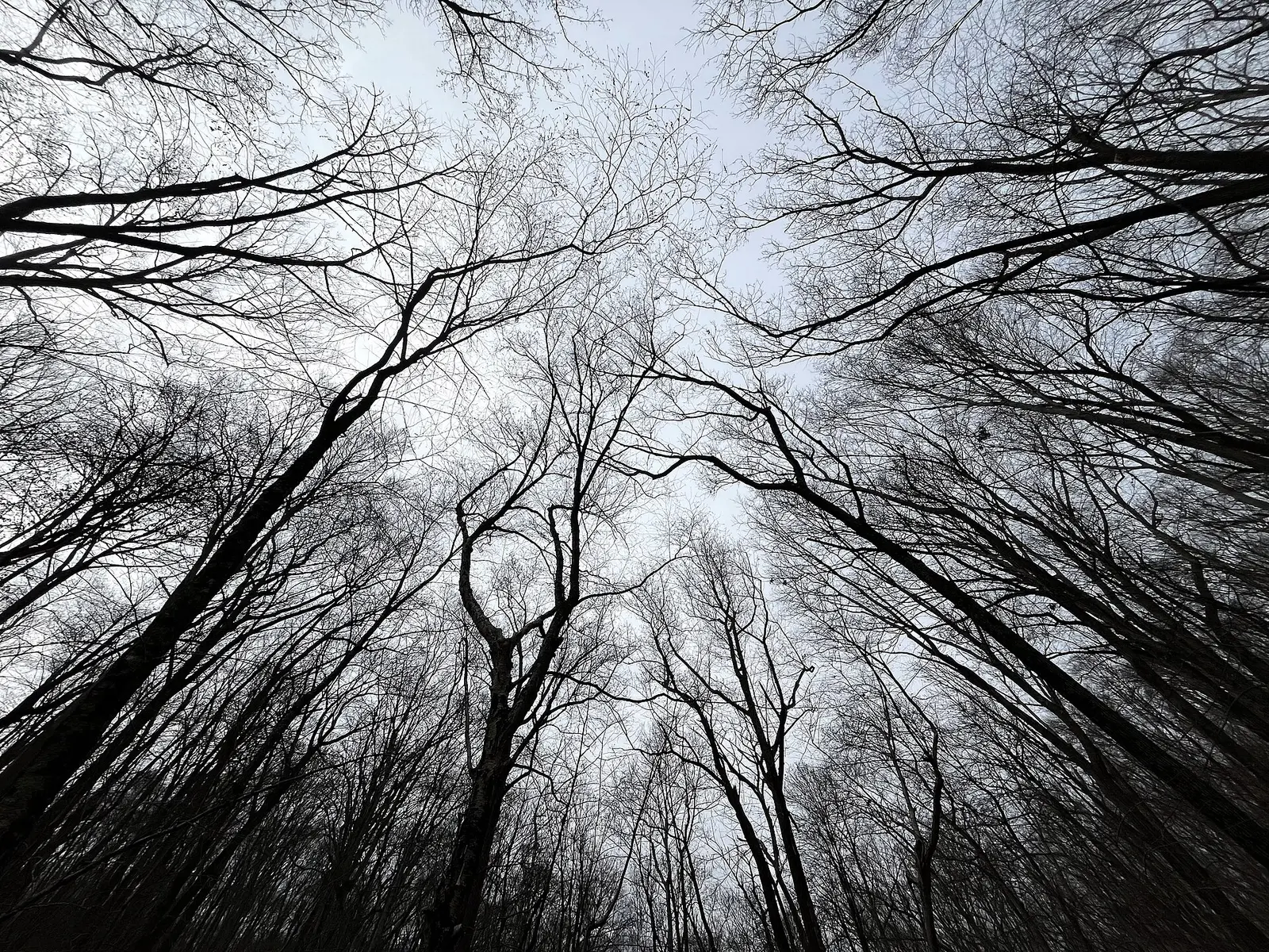

Hacklebarney State Park is a 981-acre park in Morris County, about 7 miles west of Mendham.
The park supports hunting in season, wildlife watching, picnicking, and hiking.
Hours
Park, gate, office and facility hours are listed separately because they often differ. Alerts above override normal hours.
| Facility | Days | Hours | Season |
|---|---|---|---|
| Park | Daily | sunrise – sunset | — |
Official wording
Open Sunrise to Sunset
Source: official park page, checked Oct 29, 2026. Times are local to the park (America/New York).
Things to do
HuntingPicnickingWildlife viewing and birdingHiking
Trails
| Trail | Length | Difficulty | Notes |
|---|---|---|---|
| Riverside Trail | 1.77 mi | Moderate | Blaze: RedHikingDirt surface |
| Main Trail | 0.69 mi | Easy | Blaze: WhiteHikingPaved surface |
| Upland Trail | 0.53 mi | Easy | Blaze: PinkHikingAggregate, Gravel, Grass surface |
| Windy Ridge Trail | 0.47 mi | Easy | Blaze: YellowHikingDirt surface |
| Playground Trail | 0.35 mi | Easy | Blaze: GreenHikingPaved surface |
| Wintershine Trail | 0.35 mi | Easy | Blaze: BlueHikingLoose Aggregate surface |
| Haki Trail | 0.31 mi | Moderate | Blaze: BlueHikingGravel surface |
| Three Pools Trail | 0.11 mi | Easy | Blaze: BlueHikingGravel surface |
| Waterfall Trail | 0.09 mi | Moderate | Blaze: PurpleHikingGravel surface |
| Connector - Riverside Trail, Boundary Monuments | 0.06 mi | Moderate | Blaze: Lt BrownHikingGravel surface |
| Connector - Waterfall, Upper Trail | 0.02 mi | Difficult | Blaze: Lt BrownHikingLoose Aggregate surface |
Trail descriptions from the park
Riverside Trail – 1.77 mi – Moderate – hiking
Main Trail – 0.69 mi – Easy – hiking
Upland Trail – 0.53 mi – Easy – hiking
Windy Ridge Trail – 0.47 mi – Easy – hiking
Playground Trail – 0.35 mi – Easy – hiking
Wintershine Trail – 0.35 mi – Easy – hiking
Haki Trail – 0.31 mi – Moderate – hiking
Three Pools Trail – 0.11 mi – Easy – hiking
Waterfall Trail – 0.09 mi – Moderate – hiking
Connector - Riverside Trail, Boundary Monuments – 0.06 mi – Moderate – hiking
Connector - Waterfall, Upper Trail – 0.02 mi – Difficult – hiking
Amenities
Facilities
- Restrooms
- Picnic areas
- Playground
- Parking
✓ listed by the park · ✕ the park says it is not available. Anything not shown here isn’t mentioned by the official source — that means unknown, not unavailable.
Getting there
- Address
- 119 Hacklebarney Rd
Long Valley, NJ 07853 - Nearest town
- Mendham — about 7 mi west (straight line)
- Coordinates
- 40.7513, -74.7317
- Phone
- (908) 638-8572
Entrances
- Park Entrance
Nearby state parks
Sources and freshness
- New Jersey State Parks, Forests & Historic Sites — park page — last checked Oct 29, 2026; page says updated Sep 19, 2026
- NJDEP Open Space (State Owned) Facility layer, filtered to LAND_MANAGER 'State Parks, Forests and Historic Sites' with a FACILITY_URL park page
- Wikidata
- USGS PAD-US 4.1 (boundary and acreage)
- Photo: Trees on the Riverside Trail in Hacklebarney State Park.jpg — CC0 1.0 (public domain dedication), Staniulis
“Last checked” is when our system last read the official source. No change has been detected since this page was first published. Hours, fees and rules can change without notice — confirm with the park before you go. Methodology