Lovers Key State Park
Also known as Carl E. Johnson State Park
- Status
- Open (per official listing)
- Entrance fee
- Statewide rule — see below
- Day-use reservations
- None mentioned
- Dogs
- Not stated — check with park
- Camping
- None listed
- Official site
- floridastateparks.org(239) 463-8851
Official page last checked Oct 29, 2026. How we keep this current
Overview
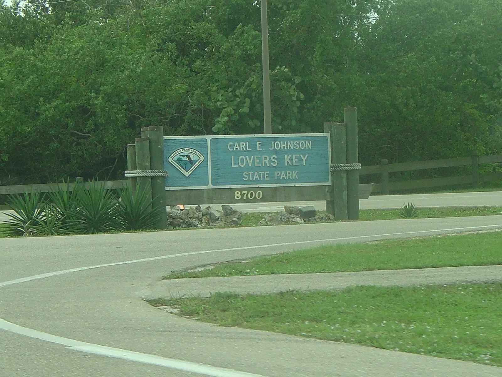

Covering about 1,398 acres, Lovers Key State Park lies in Lee County, about 4 miles southeast of Fort Myers Beach.
Visitors come for beachcombing, historic sites, canoeing and kayaking, boating, and swimming. On the water side, there is a swimming beach and a boat ramp.
Fees and passes
Varies by park (mostly per vehicle; some per person/pedestrian/cyclist; some free).
Statewide fee rule from Florida's park system; this park’s page doesn’t list its own fees.
Reservations
- Day use
- No day-use reservation requirement mentioned
- Booking system
- Florida State Parks Reservation System (UseDirect / Tyler 'RDR' platform)
We link to the official booking system rather than showing live availability, which changes minute to minute.
Things to do
HikingBikingBoatingCanoeing and kayakingFishingWildlife viewing and birdingPicnickingBeachcombingSwimmingHistoric sites and tours
Trails
| Trail | Length | Difficulty | Notes |
|---|---|---|---|
| Nature Trail | 1.42 mi | — | HikingBikingNatural surface |
| Black Island Trail | 2.28 mi | — | HikingBikingNatural surface |
| Black Island Trail Connector | 0.01 mi | — | HikingBikingNatural surface |
| Lovers Key State Park Trail | 1.53 mi | — | HikingBikingNatural surface |
| Connector | 0.11 mi | — | HikingBikingNatural surface |
| Great Calusa Blueway | 2.68 mi | — | PaddlingWater surface |
Trail descriptions from the park
Nature Trail (Hiking, Biking) — 1.42 mi, Natural
Black Island Trail (Hiking, Biking) — 2.28 mi, Natural
Black Island Trail Connector (Hiking, Biking) — 0.01 mi, Natural
Lovers Key State Park Trail (Hiking, Biking) — 1.53 mi, Natural
Connector (Hiking, Biking) — 0.11 mi, Natural
Great Calusa Blueway (Paddling) — 2.68 mi, Water
Swimming
Beach Concession; Beach Area; Swimming
Boating and paddling
Canoe/Kayak Launch; Paddling Trail; Canoeing/Kayaking; Boating; Boat Ramp
Fishing
Fishing
A state fishing license is usually required.
Amenities
Facilities
- Restrooms
- Picnic areas
- Picnic shelters
- Playground
- Nature center or museum
- Park or camp store
- Parking
Water
- Swimming beach
- Boat ramp
✓ listed by the park · ✕ the park says it is not available. Anything not shown here isn’t mentioned by the official source — that means unknown, not unavailable.
Getting there
- Address
- 8700 Estero Blvd.
Ft Myers Beach, FL 33931 - Nearest town
- Fort Myers Beach — about 4 mi southeast (straight line)
- Coordinates
- 26.3929, -81.8679
- Phone
- (239) 463-8851
Entrances
- Main Entrance
- Secondary Entrance
- Secondary Entrance
Nearby state parks
Sources and freshness
- Florida State Parks (Florida Park Service) — park page — last checked Oct 29, 2026
- FDEP Open Data ArcGIS: Florida State Park Boundaries (PARKS_BOUNDARIES layer 0), dataset modified 2026-09-10 per the DEP open-data hub
- Wikidata
- USGS PAD-US 4.1 (boundary and acreage)
- Photo: Lovers Key State Park Entrance.jpg — Public domain (released by the author)
“Last checked” is when our system last read the official source. No change has been detected since this page was first published. Hours, fees and rules can change without notice — confirm with the park before you go. Methodology