Double Trouble State Park
Also known as Double Trouble Historic District
- Status
- Open (per official listing)Daily 8 a.m. – sunset
- Entrance fee
- Not posted
- Day-use reservations
- None mentioned
- Dogs
- Not stated — check with park
- Camping
- None listed
- Official site
- dep.nj.gov(609) 726-1191
Official page last checked Oct 29, 2026. How we keep this current
Overview
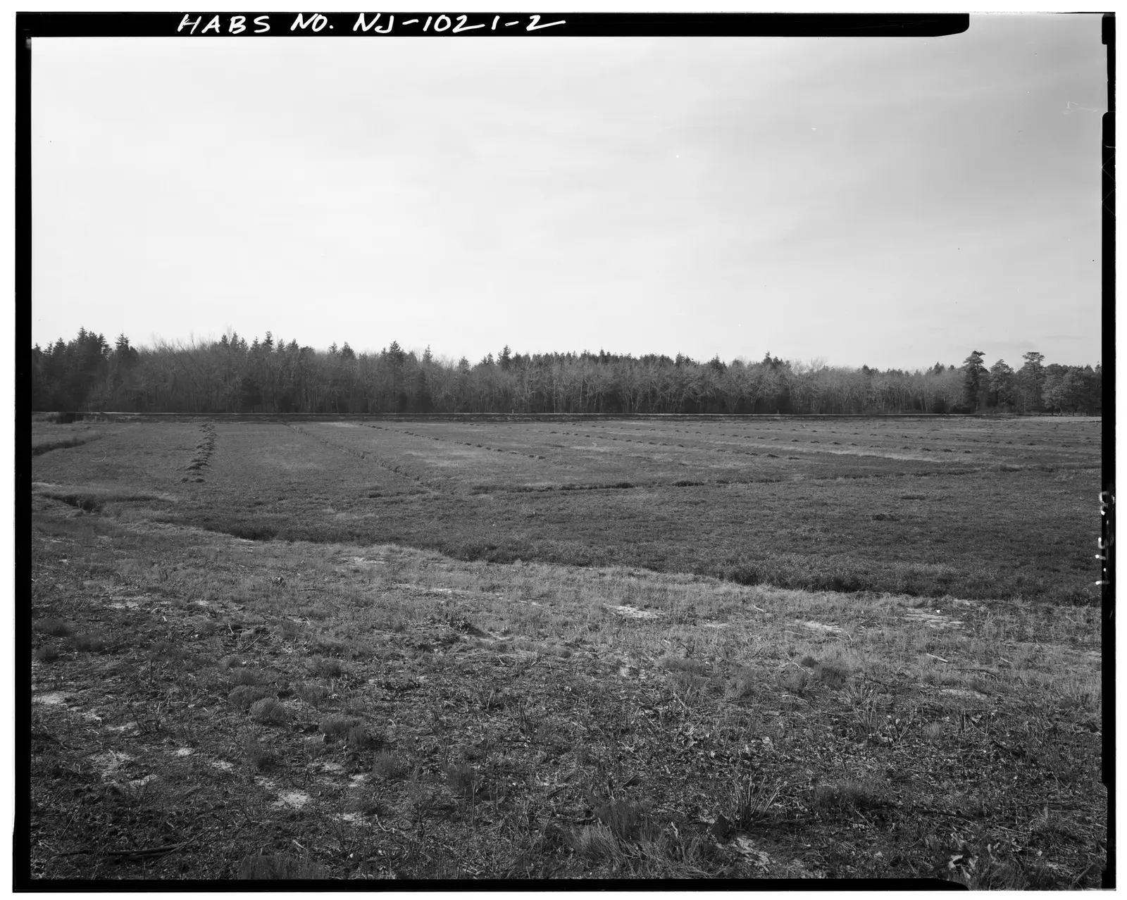
In Ocean County, about 2 miles southwest of Beachwood, Double Trouble State Park covers about 2 acres.
Visitors come for horseback riding, historic sites, hunting in season, boating, and biking. On the water side, there is a boat ramp.
Hours
Park, gate, office and facility hours are listed separately because they often differ. Alerts above override normal hours.
| Facility | Days | Hours | Season |
|---|---|---|---|
| Park | Daily | 8 a.m. – sunset | — |
Official wording
8 a.m. to dusk
Source: official park page, checked Oct 29, 2026. Times are local to the park (America/New York).
Things to do
BoatingHuntingHikingBikingHorseback ridingHistoric sites and tours
Trails
| Trail | Length | Difficulty | Notes |
|---|---|---|---|
| Sweetwater Trail | 2.25 mi | Easy | Blaze: OrangeHikingBikingHorseback ridingLoose Aggregate, Sand surface |
| Cedar Creek Water Trail | 1.72 mi | — | Blaze: BlueWater surface |
| Swordens Pond Trail | 1.27 mi | Easy | Blaze: YellowHikingNatural surface |
| Nature Trail | 1.22 mi | Easy | Blaze: GreenHikingBikingHorseback ridingLoose Aggregate, Sand surface |
| Mill Pond Trail | 1.07 mi | Easy | Blaze: RedHikingBikingHorseback ridingSand surface |
| Ore Pond Road | 0.79 mi | Easy | Blaze: GrayMotorizedSand surface |
| Dover Forge Trail | 0.36 mi | Easy | Blaze: WhiteHikingBikingHorseback ridingSand surface |
| Clear Brook Trail | 0.32 mi | Easy | Blaze: PurpleHikingBikingHorseback ridingNatural surface |
| Connector - Nature Trail , Sweetwater Trail | 0.18 mi | — | Blaze: Lt BrownHikingBikingHorseback ridingNatural surface |
| Dover Forge Canoe Access Trail | 0.13 mi | Easy | Blaze: BlackMotorizedSand surface |
| Connector - Mill Pond Trail, Scenic View | 0.03 mi | Easy | Blaze: Lt BrownHikingBikingHorseback ridingSand surface |
Trail descriptions from the park
Sweetwater Trail – 2.25 mi – Easy – hiking/biking/horseback riding
Cedar Creek Water Trail – 1.72 mi
Swordens Pond Trail – 1.27 mi – Easy – hiking
Nature Trail – 1.22 mi – Easy – hiking/biking/horseback riding
Mill Pond Trail – 1.07 mi – Easy – hiking/biking/horseback riding
Ore Pond Road – 0.79 mi – Easy – motorized
Dover Forge Trail – 0.36 mi – Easy – hiking/biking/horseback riding
Clear Brook Trail – 0.32 mi – Easy – hiking/biking/horseback riding
Connector - Nature Trail , Sweetwater Trail – 0.18 mi – hiking/biking/horseback riding
Dover Forge Canoe Access Trail – 0.13 mi – Easy – motorized
Connector - Mill Pond Trail, Scenic View – 0.03 mi – Easy – hiking/biking/horseback riding
Amenities
Facilities
- Restrooms
- Parking
Water
- Boat ramp
Recreation
- Horse trails
✓ listed by the park · ✕ the park says it is not available. Anything not shown here isn’t mentioned by the official source — that means unknown, not unavailable.
Getting there
- Address
- P.O. Box 175
Bayville, NJ 08721 - Nearest town
- Beachwood — about 2 mi southwest (straight line)
- Coordinates
- 39.8977, -74.2218
- Phone
- (609) 726-1191
Entrances
- Park Entrance
Nearby state parks
Sources and freshness
- New Jersey State Parks, Forests & Historic Sites — park page — last checked Oct 29, 2026; page says updated Feb 24, 2026
- NJDEP Open Space (State Owned) Facility layer, filtered to LAND_MANAGER 'State Parks, Forests and Historic Sites' with a FACILITY_URL park page
- Wikidata
- USGS PAD-US 4.1 (boundary and acreage)
- Photo: CRANBERRY BOG, VIEW LOOKING WEST - Double Trouble State Park, County Road 618, West of Garden State Parkway, Double Trouble, Ocean County, NJ HABS NJ,15-DOUT,1-2.tif — Public domain (US federal government work), Related names: Gilberson, William Madrid, transmitter
“Last checked” is when our system last read the official source. No change has been detected since this page was first published. Hours, fees and rules can change without notice — confirm with the park before you go. Methodology