Colton Point State Park
- Status
- Status not postedDaily sunrise – sunset
- Entrance fee
- Not posted
- Day-use reservations
- None mentioned
- Dogs
- Not stated — check with park
- Camping
- Yes
- Official site
- pa.gov(570) 724-3061
Official page last checked Oct 29, 2026. How we keep this current
Overview
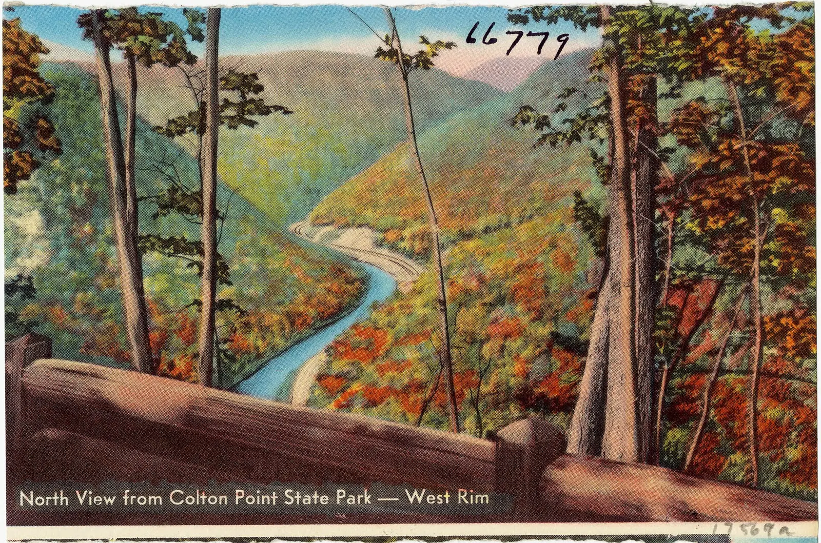

Covering about 378 acres, Colton Point State Park lies in Tioga County, about 8 miles west of Wellsboro.
The park supports snowmobiling, winter sports, hunting in season, fishing, and picnicking. The official site lists about 4 miles of trails. Camping is available: 2 camping areas, including RV sites, tent sites, and group camping.
Hours
Park, gate, office and facility hours are listed separately because they often differ. Alerts above override normal hours.
| Facility | Days | Hours | Season |
|---|---|---|---|
| Park | Daily | sunrise – sunset | — |
Official wording
The park is open every day of the year, sunrise to sunset. Day use areas close at dusk. Contact the Leonard Harrison State Park office for facility seasons and hours.
Source: official park page, checked Oct 29, 2026. Times are local to the park (America/New York).
Reservations
- Day use
- No day-use reservation requirement mentioned
- Camping
- Not required
- Booking system
- ReserveAmerica (Aspira), Pennsylvania State Parks contract
- Phone
- 888-PA-PARKS (888-727-2757)
Campsites at Colton Point are not reservable but are available first-come, first-served.
We link to the official booking system rather than showing live availability, which changes minute to minute.
Camping
| Campground or site type | Sites | Hookups / features | Price |
|---|---|---|---|
| Camping Season: The campground is open fromearly May until the mid-October. Colton Point State Park Campground Map (PDF)
The campground is open fromearly May until the mid-October. Campsites at Colton Point are not reservable but are available first-come, first-served.
Non-flush toilets, water, picnic tables, and fire rings are provided. There is no sanitary dump station. | — | — | |
| Organized Group Tenting Qualified adult and youth groups may use this 90-person capacity area from the beginning of May to the third Sunday in October, weather permitting. Advance reservations are recommended.
The camp is equipped with picnic tables. This area is rustic in nature and so vehicles are prohibited in the camping area. | — | The camp is equipped with picnic tables. | — |
Camping details from the park
Camping
Colton Point State Park Campground Map (PDF)
The campground is open fromearly May until the mid-October. Campsites at Colton Point are not reservable but are available first-come, first-served.
Non-flush toilets, water, picnic tables, and fire rings are provided. There is no sanitary dump station.
Organized Group Tenting
Qualified adult and youth groups may use this 90-person capacity area from the beginning of May to the third Sunday in October, weather permitting. Advance reservations are recommended.
The camp is equipped with picnic tables. This area is rustic in nature and so vehicles are prohibited in the camping area.
From the official park page, checked Oct 29, 2026. Site counts and prices can change; confirm when booking.
Things to do
FishingPicnickingHikingWinter sportsSnowmobilingHuntingCamping
Trails
| Trail | Length | Difficulty | Notes |
|---|---|---|---|
| Rim Trail | 1 mi | Easiest | Recreations permitted: hiking Trailhead amenities: non-flush restrooms, picnic tables, benches The Rim Trail offers several observation vistas where hikers can enjoy geological and natural views. It is perfect for families and hikers who don't have a lot of time.Hiking |
| Turkey Path | 1.5 mi | Most difficult | Recreations permitted: hiking Trailhead amenities: non-flush restrooms, potable water This difficult trail descends 1.5 miles to the floor of the canyon. It is a rustic, physically challenging trail featuring geological and wildlife watching opportunities. The highlight is a 70-foot cascading waterfall less than 0.5 mile down. The lowest parts of the trail run along a series of waterfalls. It is a down and back trail. There is no bridge across Pine Creek at the bottom. Trek back up the gorge to the starting point for a total of a 3-mile hike. Caution! Hikers on the Turkey Path Trail should be Hiking |
Trail descriptions from the park
4 miles of trails
The trails lead to many beautiful vistas and waterfalls, but traverse very rugged terrain, pass close to many steep cliffs, and may have slippery surfaces.
Trails are subject to seasonal closure due to snow and ice, usually from December through April.
Colton Point State Park Map
Amenities
Facilities
- Picnic areas
- Picnic shelters
- Group facilities
Camping
- Tent camping
- RV camping
- Group camping
✓ listed by the park · ✕ the park says it is not available. Anything not shown here isn’t mentioned by the official source — that means unknown, not unavailable.
Accessibility
Colton Point State Park offers a range of accessibility accommodations to ensure all visitors can enjoy its natural beauty and recreational opportunities.
Colorblind Viewfinder
A viewfinder fit with an EnChroma colorblind lens is located at the last overlook near pavilion 5 at Colton Point State Park.
The lenses are designed to enhance the color vision of those with a red-green color vision deficiency. Any park visitor can utilize the viewfinder to experience the colorful beauty of nature and to view foliage more vividly.
Official accessibility information
Conditions change. Contact the park to confirm specific accessible features before your visit.
Getting there
- Address
- 927 Colton Road
Wellsboro, PA 16901 - Nearest town
- Wellsboro — about 8 mi west (straight line)
- Coordinates
- 41.7082, -77.4553
- Phone
- (570) 724-3061
- leonardharrisonsp@pa.gov
Google Maps directionsApple MapsOfficial park map (PDF)
Directions from the park
From US 6 near Ansonia, follow Colton Road south for five miles. GPS DD: Lat. 41.70824 Long. -77.4553 Driving Directions: Directions Map to Colton Point State Park (PDF)
Nearby state parks
Sources and freshness
- Pennsylvania State Parks — park page — last checked Oct 29, 2026; page says updated Sep 3, 2026
- DCNR Find a Park: content-fragment JSON feed used by the pa.gov park finder
- Wikidata
- USGS PAD-US 4.1 (boundary and acreage)
- Photo: North view from Colton Point State Park -- West Rim (66779).jpg — Public domain (copyright expired), Tichnor Brothers, Publisher
“Last checked” is when our system last read the official source. No change has been detected since this page was first published. Hours, fees and rules can change without notice — confirm with the park before you go. Methodology