Platte River State Park
- Status
- Open (per official listing)
- Entrance fee
- Not posted
- Day-use reservations
- None mentioned
- Dogs
- Not stated — check with park
- Camping
- None listedAlso cabins
- Official site
- outdoornebraska.gov(402) 234-2217
Official page last checked Oct 29, 2026. How we keep this current
Overview
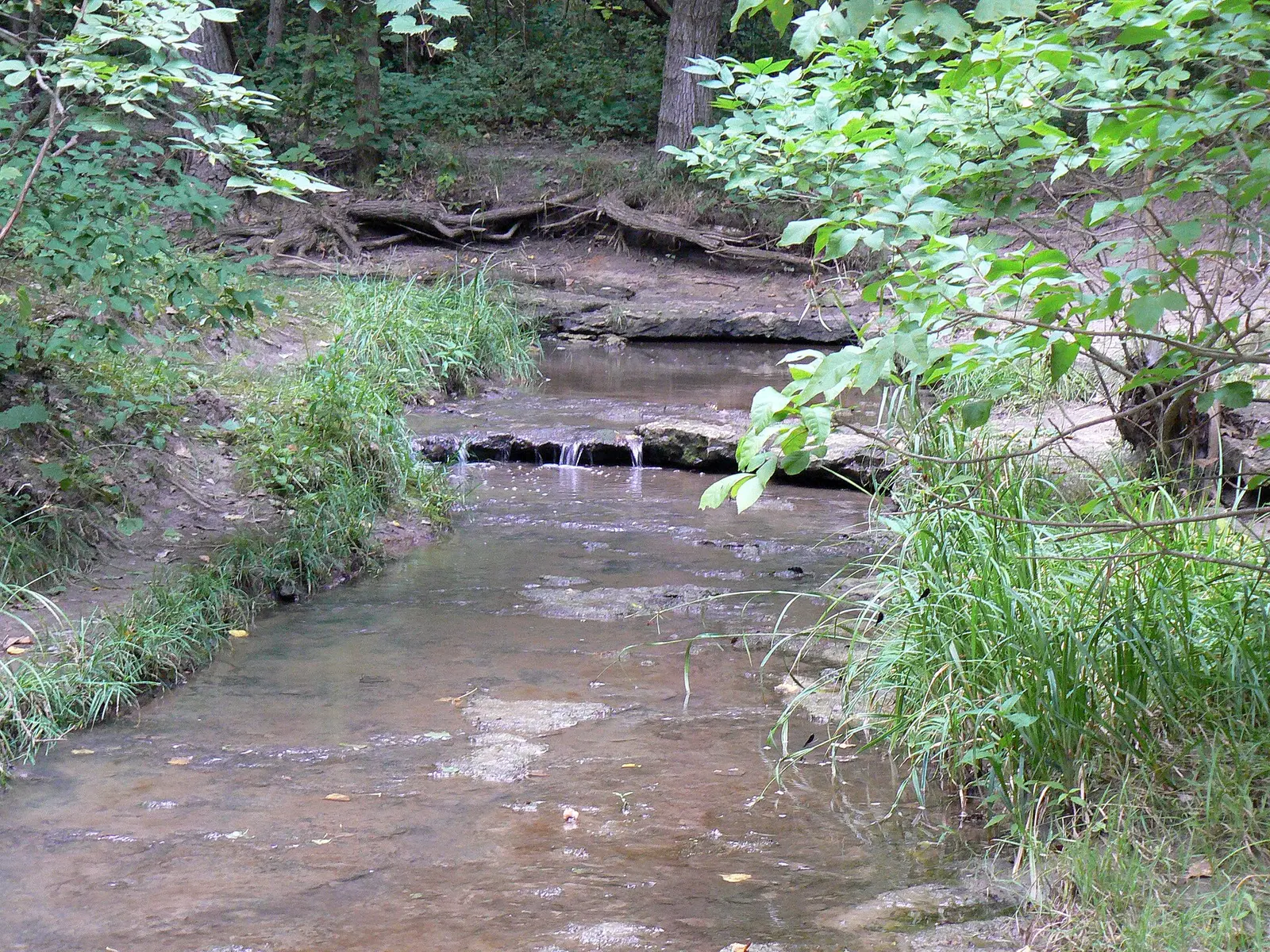

In Cass County, about 3 miles west of Louisville, Platte River State Park covers about 985 acres.
Popular activities here are horseback riding, canoeing and kayaking, boating, swimming, and fishing. Facilities for water recreation include a swimming pool. There are also cabins for rent.
Cabins and lodging
- Cabins
- Lodging
Cabins, Lodging available (NGPC GIS flag).
Things to do
BoatingCanoeing and kayakingFishingPicnickingSwimmingHikingHorseback ridingBikingWildlife viewing and birding
Trails
| Trail | Length | Difficulty | Notes |
|---|---|---|---|
| Otoe Coaster | 0.98 mi | Difficult / Moderate | Status: Trail is open to the public, free of charge (lengths summed from GIS segments)Earth surface |
| Gateway | 0.74 mi | Easy / Moderate | Status: Trail is open to the public, free of charge (lengths summed from GIS segments)Earth surface |
| Amphitheater Ridge | 1.01 mi | Moderate | Status: Trail is open to the public, free of charge (lengths summed from GIS segments)Earth surface |
| Overlook | 0.97 mi | Moderate | Status: Trail is open to the public, free of charge (lengths summed from GIS segments)Earth surface |
| Falls Bypass | 1.03 mi | Moderate | Status: Trail is open to the public, free of charge (lengths summed from GIS segments)Earth surface |
| Wild Turkey | 1.05 mi | Moderate | Status: Trail is open to the public, free of charge (lengths summed from GIS segments)Earth surface |
| Bison Hollow | 0.45 mi | Moderate | Status: Trail is open to the public, free of charge (lengths summed from GIS segments)Earth surface |
| 001 | 1.05 mi | Moderate | Status: Trail is open to the public, free of charge (lengths summed from GIS segments)Earth surface |
| Ruthies Backyard Trail | 0.56 mi | Moderate | Status: Trail is open to the public, free of charge (lengths summed from GIS segments)Earth surface |
| Ruthies Point | 0.15 mi | Easy | Status: Trail is open to the public, free of charge (lengths summed from GIS segments)Earth surface |
| Fawn Creek | 0.47 mi | Moderate | Status: Trail is open to the public, free of charge (lengths summed from GIS segments)Earth surface |
| Cougar Ridge | 0.33 mi | Moderate | Status: Trail is open to the public, free of charge (lengths summed from GIS segments)Earth surface |
| Red Oak | 0.56 mi | Moderate | Status: Trail is open to the public, free of charge (lengths summed from GIS segments)Earth surface |
| Bur Oak | 0.22 mi | Moderate | Status: Trail is open to the public, free of charge (lengths summed from GIS segments)Earth surface |
| Swamp White | 0.32 mi | Moderate | Status: Trail is open to the public, free of charge (lengths summed from GIS segments)Earth surface |
| Sandstone Sender | 0.22 mi | Difficult | Status: Trail is open to the public, free of charge (lengths summed from GIS segments)Earth surface |
| Pump Track | 0.07 mi | Easy | Status: Trail is open to the public, free of charge (lengths summed from GIS segments)Earth surface |
| Sykes Slingshot | 0.47 mi | Moderate | Status: Trail is open to the public, free of charge (lengths summed from GIS segments)Earth surface |
| Rollercoaster | 1.09 mi | Moderate | Status: Trail is open to the public, free of charge (lengths summed from GIS segments)Earth surface |
| Cedar Maze | 0.21 mi | Easy | Status: Trail is open to the public, free of charge (lengths summed from GIS segments)Earth surface |
| Adrian's Way | 0.36 mi | Moderate | Status: Trail is open to the public, free of charge (lengths summed from GIS segments)Earth surface |
| Tomahawk | 0.34 mi | Difficult | Status: Trail is open to the public, free of charge (lengths summed from GIS segments)Earth surface |
| Double Track | 1.22 mi | Moderate | Status: Trail is open to the public, free of charge (lengths summed from GIS segments)Earth surface |
| Not Named | 3.54 mi | Moderate | Status: Trail is open to the public, free of charge, Open (lengths summed from GIS segments)Earth, Native Material surface |
| River Run | 1.1 mi | Difficult | Status: Trail is open to the public, free of charge (lengths summed from GIS segments)Earth surface |
| Eastbound & Down | 1.33 mi | Moderate | Status: Trail is open to the public, free of charge (lengths summed from GIS segments)Earth surface |
| Stone Creek Falls | 1.32 mi | Moderate | Status: Trail is open to the public, free of charge (lengths summed from GIS segments)Earth surface |
| Stables Trail | 2.05 mi | Equestrian | Status: Trail is open to the public, free of charge (lengths summed from GIS segments)Earth surface |
| Yun 2 | 1.85 mi | Moderate / Difficult | Status: Trail is open to the public, free of charge (lengths summed from GIS segments)Earth surface |
| Spotted Skunk | 0.31 mi | Moderate | Status: Trail is open to the public, free of charge (lengths summed from GIS segments)Earth surface |
| Badger Pass | 0.63 mi | Difficult | Status: Trail is open to the public, free of charge (lengths summed from GIS segments)Earth surface |
| Red Fox Run | 0.64 mi | Moderate | Status: Trail is open to the public, free of charge (lengths summed from GIS segments)Earth surface |
| Red Oak Return | 0.24 mi | Easy | Status: Trail is open to the public, free of charge (lengths summed from GIS segments)Earth surface |
Trail descriptions from the park
Otoe Coaster (0.98 mi)
Gateway (0.74 mi)
Amphitheater Ridge (1.01 mi)
Overlook (0.97 mi)
Falls Bypass (1.03 mi)
Wild Turkey (1.05 mi)
Bison Hollow (0.45 mi)
001 (1.05 mi)
Ruthies Backyard Trail (0.56 mi)
Ruthies Point (0.15 mi)
Fawn Creek (0.47 mi)
Cougar Ridge (0.33 mi)
Red Oak (0.56 mi)
Bur Oak (0.22 mi)
Swamp White (0.32 mi)
Sandstone Sender (0.22 mi)
Pump Track (0.07 mi)
Sykes Slingshot (0.47 mi)
Rollercoaster (1.09 mi)
Cedar Maze (0.21 mi)
Adrian's Way (0.36 mi)
Tomahawk (0.34 mi)
Double Track (1.22 mi)
Not Named (3.54 mi)
River Run (1.1 mi)
Eastbound & Down (1.33 mi)
Stone Creek Falls (1.32 mi)
Stables Trail (2.05 mi)
Yun 2 (1.85 mi)
Spotted Skunk (0.31 mi)
Badger Pass (0.63 mi)
Red Fox Run (0.64 mi)
Red Oak Return (0.24 mi)
Swimming
Swimming: Yes; Swimming pool: Yes
Boating and paddling
Marina, Paddle boating
Fishing
Fishing, Bait
A state fishing license is usually required.
Amenities
Facilities
- Restrooms
- Flush toilets
- Vault or pit toilets
- Showers
- Drinking water
- Picnic areas
- Picnic shelters
- Playground
- Park or camp store
- Restaurant or food service
- Parking
- Laundry
- Amphitheater
- Group facilities
Water
- Swimming pool
- Marina or boat slips
Lodging
- Cabins
Recreation
- Horse trails
✓ listed by the park · ✕ the park says it is not available. Anything not shown here isn’t mentioned by the official source — that means unknown, not unavailable.
Getting there
- Address
- 14421 346th St.
Louisville, NE 68037-3001 - Nearest town
- Louisville — about 3 mi west (straight line)
- Coordinates
- 40.9909, -96.2121
- Phone
- (402) 234-2217
- ngpc.Platte.River@nebraska.gov
Nearby state parks
Sources and freshness
- Nebraska State Parks — park page — last checked Oct 29, 2026; page says updated Sep 30, 2016
- NGPC ArcGIS feature service Parks_Locations (owner NGPC.GISAdmin) + TrailsNewmap layer 8
- Wikidata
- USGS PAD-US 4.1 (boundary and acreage)
- Photo: Stone Creek Nebraska.jpg — Public domain (released by the author), MONGO
“Last checked” is when our system last read the official source. No change has been detected since this page was first published. Hours, fees and rules can change without notice — confirm with the park before you go. Methodology