Versailles State Park
- Status
- Status not posted
- Entrance fee
- Statewide rule — see below
- Day-use reservations
- None mentioned
- Dogs
- Not stated — check with park
- Camping
- 235 campsites
- Official site
- in.gov812-689-6424
Official page last checked Oct 29, 2026. How we keep this current
Overview
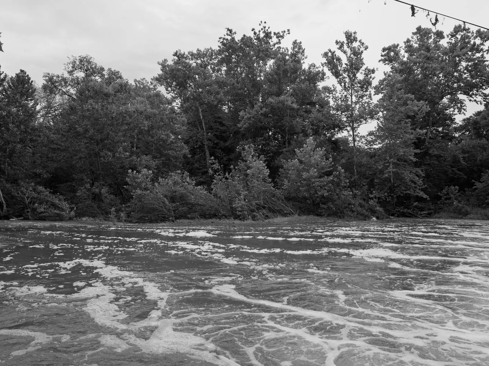
Covering about 5,537 acres, Versailles State Park lies in Ripley County, in Versailles.
The park supports horseback riding, mountain biking, canoeing and kayaking, boating, and swimming. Facilities for water recreation include a swimming pool and a boat ramp. Camping is available: 235 campsites across 2 camping areas, including tent sites.
Fees and passes
Per vehicle daily gate fee: $7 Indiana plates / $15 out-of-state at state parks and state-managed lakes; exceptions Indiana Dunes ($7/$20), Prophetstown ($8/$16), Falls of the Ohio Interpretive Center ($9 adult/$7 child); $2 per person age 5+ on foot, bicycle or horseback.
Statewide fee rule from Indiana's park system; this park’s page doesn’t list its own fees.
Indiana park passes
- Annual Entrance Pass — $50. Noncommercial vehicle, driver and passengers at DNR properties that charge a gate fee Details
- Non-resident Annual Entrance Pass — $120. Non-Indiana resident noncommercial vehicles Details
- Golden Hoosier Passport — $25. Indiana residents 65+ or eligible for SS disability; vehicle, driver and passengers Details
- Disabled Hoosier Veteran Pass — $25. Persons eligible for a Disabled Hoosier Veteran plate Details
- SSDI Pass — $25. Indiana residents receiving or eligible for SSDI Details
From the Indiana state guide. Confirm which passes this park accepts.
Reservations
- Day use
- No day-use reservation requirement mentioned
- Booking system
- ReserveAmerica (Indiana State Parks) for camping, cabins, shelters, group camps; separate inn reservations
- Phone
- 1-866-622-6746 (camping, cabins, shelters, group camps); 1-877-563-4371 (inns and Brown County cabins)
We link to the official booking system rather than showing live availability, which changes minute to minute.
Camping
| Campground or site type | Sites | Hookups / features | Price |
|---|---|---|---|
| Electric | 226 | Electric | — |
| Equestrian - Electric | 9 | Electric | — |
Camping details from the park
• Electric / 226 sites • Equestrian - Electric/ 9 sites • Group Camp • Youth Tent Camping Area • Camp Store • Dumping Station
From the official park page, checked Oct 29, 2026. Site counts and prices can change; confirm when booking.
Things to do
PicnickingBoatingHikingHorseback ridingFishingBikingMountain bikingCanoeing and kayakingSwimmingCamping
Trails
| Trail | Length | Difficulty | Notes |
|---|---|---|---|
| Trail 1 | 2.25 mi | Moderate | Circles upland woods and ravines along the eastern bluff of Laughery Valley, featuring oak, hickory, maple, beech, tulip poplar, black walnut, and other native trees. Look for limestone sinkholes along the way. Trail can be accessed from below, from the Old Fire Tower Road, or near Oak Grove picnic area. Parents, please watch children at road crossings. |
| Trail 2 | 2.75 mi | Moderate | Makes a figure 8 along the hill of the southern edge of Fallen Timber Creek/ravine. The trail rounds Campground A to near the CCC-constructed Oak Grove shelter, where Trail 1 can be picked up. Encircling Campground A, access can be made near Oak Grove picnic area, behind Trailside shelter, from several points in the campground, and from Fallen Timber bridge at the lake. |
| Trail 3 | 1.5 mi | Easy | Begins north of Fallen Timber bridge and goes east along Fallen Timber Creek. Crosses the creek three times before joining Trail 2. Numerous invertebrates inhabit the creek bottom. |
Trail descriptions from the park
1. MODERATE (2.25 miles)—Circles upland woods and ravines along the eastern bluff of Laughery Valley, featuring oak, hickory, maple, beech, tulip poplar, black walnut, and other native trees. Look for limestone sinkholes along the way. Trail can be accessed from below, from the Old Fire Tower Road, or near Oak Grove picnic area. Parents, please watch children at road crossings. 2. MODERATE (2.75 miles)—Makes a figure 8 along the hill of the southern edge of Fallen Timber Creek/ravine. The trail rounds Campground A to near the CCC-constructed Oak Grove shelter, where Trail 1 can be picked up. Encircling Campground A, access can be made near Oak Grove picnic area, behind Trailside shelter, from several points in the campground, and from Fallen Timber bridge at the lake. 3. EASY (1.5 miles)—Begins north of Fallen Timber bridge and goes east along Fallen Timber Creek. Crosses the creek three times before joining Trail 2. Numerous invertebrates inhabit the creek bottom.
Swimming
Swimming / Pool / Waterslide (Policy). Contact office for hours.
Boating and paddling
Boat Launch Ramp Boat Motor / Electric trolling only Rental-Canoe, Rowboat, and Kayak
Fishing
Fishing
A state fishing license is usually required.
Amenities
Facilities
- Picnic areas
Water
- Swimming pool
- Boat ramp
Camping
- Tent camping
Recreation
- Horse trails
✓ listed by the park · ✕ the park says it is not available. Anything not shown here isn’t mentioned by the official source — that means unknown, not unavailable.
Accessibility
Bradt Nature Area - Accessible Observation Deck and Trail
Official accessibility information
Conditions change. Contact the park to confirm specific accessible features before your visit.
Getting there
- Address
- 1387 U.S. 50 East
Versailles, IN 47042 - Nearest town
- Versailles
- Coordinates
- 39.0691, -85.2377
- Phone
- 812-689-6424
Google Maps directionsApple MapsOfficial park map (PDF)
Directions from the park
Mapping Address: 1387 U.S. 50 East Versailles, IN 47042
Nearby state parks
Sources and freshness
- Indiana State Parks — park page — last checked Oct 29, 2026
- Indiana State Parks 'Find A Park' property list + DNR ArcGIS site layers (coordinates)
- Wikidata
- USGS PAD-US 4.1 (boundary and acreage)
- Photo: Public Lands Institute - Versailles State Park - 001.tif — CC0 1.0 (public domain dedication), Public Lands Institute
“Last checked” is when our system last read the official source. No change has been detected since this page was first published. Hours, fees and rules can change without notice — confirm with the park before you go. Methodology