State Park
Ney Landrum State Park
Also known as St. Marks River Preserve State Park, St. Marks River State Park
- Status
- Open (per official listing)
- Entrance fee
- Free entry
- Day-use reservations
- None mentioned
- Dogs
- Not stated — check with park
- Camping
- None listed
- Official site
- floridastateparks.org
Official page last checked Oct 29, 2026. How we keep this current
Overview
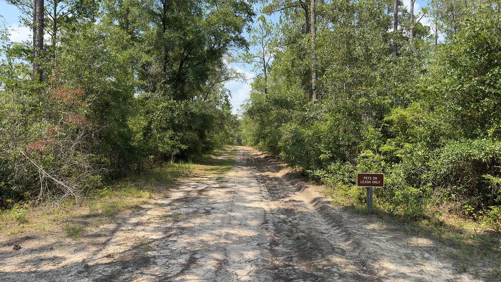

Ney Landrum State Park is a 2,590-acre park in Leon, Jefferson County, about 11 miles southeast of Tallahassee.
Fees and passes
The park lists no entrance fee.
Reservations
- Day use
- No day-use reservation requirement mentioned
- Booking system
- Florida State Parks Reservation System (UseDirect / Tyler 'RDR' platform)
We link to the official booking system rather than showing live availability, which changes minute to minute.
Things to do
Trails
| Trail | Length | Difficulty | Notes |
|---|---|---|---|
| St. Marks River Preserve State Park Trail | 8.79 mi | — | length summed over 5 GIS segmentsHikingBikingEquestrianNatural surface |
Trail descriptions from the park
St. Marks River Preserve State Park Trail (Hiking, Biking, Equestrian) — 8.79 mi, Natural
Getting there
- Address
- 11950 Tram Rd.
Tallahassee, FL 32311 - Nearest town
- Tallahassee — about 11 mi southeast (straight line)
- Coordinates
- 30.3702, -84.0872
Entrances
- Main Entrance
Nearby state parks
Natural Bridge Battlefield Historic State Park
7.1 mi southwest (straight line)
Letchworth-Love Mounds Archaeological State Park11.9 mi northeast (straight line)
Alfred B. Maclay Gardens State Park13.7 mi northwest (straight line)
Edward Ball Wakulla Springs State Park16 mi southwest (straight line)
Lake Jackson Mounds Archaeological State Park16.3 mi northwest (straight line)
Tallahassee-St. Marks Historic Railroad State Trail16.5 mi southwest (straight line)
San Marcos de Apalache Historic State Park16.8 mi southwest (straight line)
Econfina River State Park24 mi southeast (straight line)
Sources and freshness
- Florida State Parks (Florida Park Service) — park page — last checked Oct 29, 2026
- FDEP Open Data ArcGIS: Florida State Park Boundaries (PARKS_BOUNDARIES layer 0), dataset modified 2026-09-10 per the DEP open-data hub
- Wikidata
- Photo: Ney Landrum State Park Trail.jpg — CC0 1.0 (public domain dedication), Operator 16
“Last checked” is when our system last read the official source. No change has been detected since this page was first published. Hours, fees and rules can change without notice — confirm with the park before you go. Methodology