Red Clay State Historic Park
Also known as Red Clay Council Ground, Red Clay State Historic Area
- Status
- Status not posted
- Entrance fee
- Not posted
- Day-use reservations
- None mentioned
- Dogs
- Statewide rule — see below
- Camping
- None listed
- Official site
- reserve.tnstateparks.com(423) 478-0339
Official page last checked Oct 29, 2026. How we keep this current
Overview
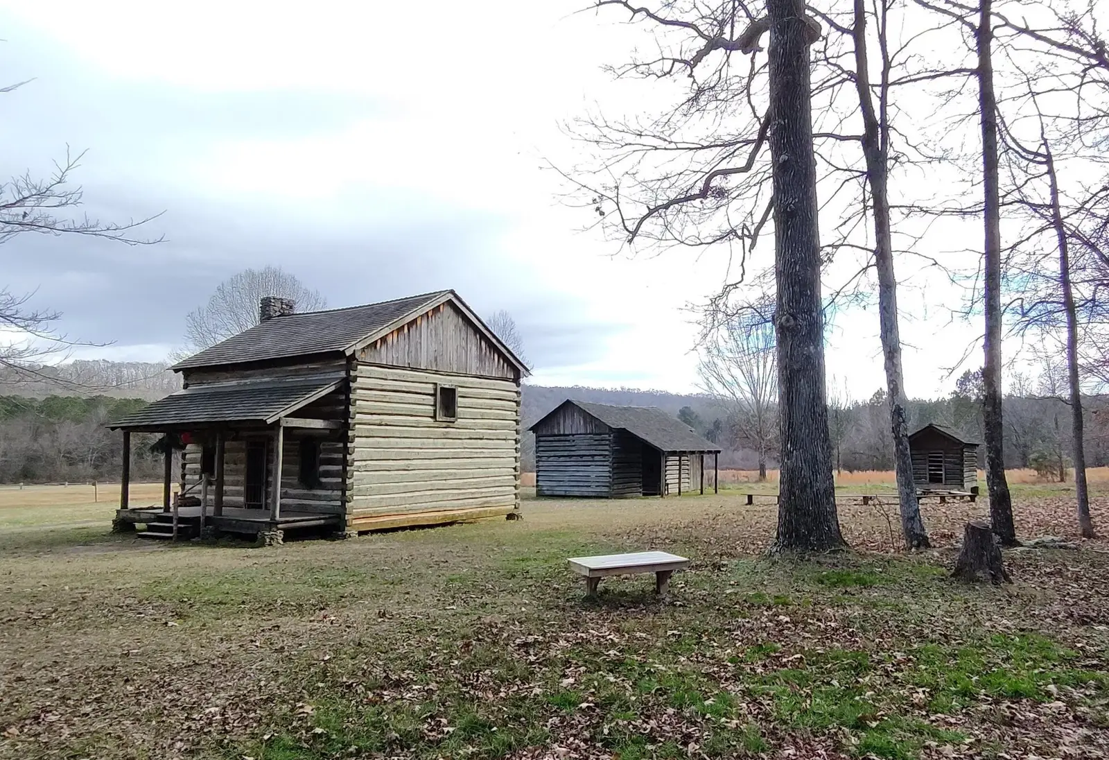

Covering about 265 acres, Red Clay State Historic Park lies in Bradley County, about 7 miles southeast of Collegedale.
The park supports historic sites and hiking.
Pets
Camping policy: 'Pets are allowed, but must be on a leash or under physical control at all times.' Pet-friendly cabins are limited with a per-pet nightly charge (cabin pet policy on cabin reservation pages).
Statewide rule from Tennessee's park system (source). This park’s page doesn’t state its own pet rules, so check for local restrictions.
Reservations
- Day use
- No day-use reservation requirement mentioned
- Booking system
- Tennessee State Parks reservation site (itinio platform) for camping, cabins, shelters, programs; some lodges/cabins via reseze.net; golf via foreUP
- Phone
- 1-888-867-2757 (888-TNPARKS)
We link to the official booking system rather than showing live availability, which changes minute to minute.
Things to do
Historic sites and toursHiking
Trails
| Trail | Length | Difficulty | Notes |
|---|---|---|---|
| Blue Hole Trail | 0.1 mi | Easy | HikeNatural surface |
| Connector Trail | 0.15 mi | Easy | HikeNatural surface |
| Council of Trees Trail | 1.7 mi | Easy | HikeNatural surface |
| Interpretive Trail | 0.6 mi | Easy | HikePaved surfaceAccessible |
Amenities
Facilities
- Picnic shelters
- Visitor center
- Nature center or museum
- Park or camp store
✓ listed by the park · ✕ the park says it is not available. Anything not shown here isn’t mentioned by the official source — that means unknown, not unavailable.
Getting there
- Nearest town
- Collegedale — about 7 mi southeast (straight line)
- Coordinates
- 34.9943, -84.9455
- Phone
- (423) 478-0339
- State.Parks@tn.gov
Nearby state parks
Sources and freshness
- Tennessee State Parks — park page — last checked Oct 29, 2026
- TDEC Bureau of Conservation 'State Park Boundaries Primary' public ArcGIS view
- Wikidata
- USGS PAD-US 4.1 (boundary and acreage)
- Photo: Cherokee farmstead - Red Clay State Park.jpg — CC0 1.0 (public domain dedication), Bneu2013 ( talk · contribs )
“Last checked” is when our system last read the official source. No change has been detected since this page was first published. Hours, fees and rules can change without notice — confirm with the park before you go. Methodology