Cheesequake State Park
- Status
- Open (per official listing)
- Entrance fee
- Not posted
- Day-use reservations
- None mentioned
- Dogs
- Not stated — check with park
- Camping
- Yes
- Official site
- dep.nj.gov(732) 566-2161
Official page last checked Oct 29, 2026. How we keep this current
Overview
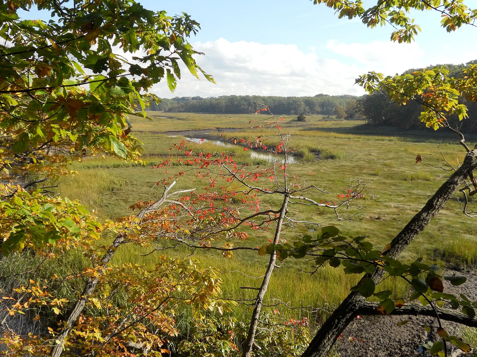

Covering about 1,906 acres, Cheesequake State Park lies in Middlesex County, about 2 miles northwest of Matawan.
Popular activities here are hunting in season, fishing, wildlife watching, biking, and picnicking. Facilities for water recreation include a swimming beach. Camping is available: 2 camping areas, including tent sites, group camping, and showers.
Hours
Park, gate, office and facility hours are listed separately because they often differ. Alerts above override normal hours.
| Facility | Days | Hours | Season |
|---|---|---|---|
| Entrance gate | Daily | 8 a.m. – 7 p.m. | — |
Official wording
Gate Hours - 8:00 a.m. to 7:00 p.m
Source: official park page, checked Oct 29, 2026. Times are local to the park (America/New York).
Camping
| Campground or site type | Sites | Hookups / features | Price |
|---|---|---|---|
| Group Campground May 1 to Oct 31 | — | — | |
| Family Campground April 1 to Oct 31 | — | — |
Camping details from the park
Group Campground Family Campground
From the official park page, checked Oct 29, 2026. Site counts and prices can change; confirm when booking.
Things to do
CampingFishingPicnickingWildlife viewing and birdingHuntingHikingBiking
Trails
| Trail | Length | Difficulty | Notes |
|---|---|---|---|
| Green Trail | 3.1 mi | Moderate | Blaze: GreenHikingNatural surface |
| Blue Trail | 2.66 mi | Easy / Moderate | Blaze: BlueHikingDirt/Sand, Boardwalk, Natural, Paved surfaceAccessible |
| White Trail | 1.53 mi | Moderate | Blaze: WhiteHikingBikingNatural surface |
| Red Trail | 1.28 mi | Moderate | Blaze: RedHikingNatural surface |
| Yellow Trail | 0.9 mi | Easy | Blaze: YellowHikingNatural, Sand surface |
| Unmarked Trail | 0.86 mi | Easy | Blaze: UnmarkedHikingDirt, Natural surface |
| Paved Path | 0.4 mi | Easy | Blaze: UnmarkedHikingPaved surfaceAccessible |
| Perrine Road | 0.09 mi | Easy | Blaze: UnmarkedHikingDirt/Sand surface |
| Crabbing Bridge Walkway | 0.05 mi | Easy | Blaze: UnmarkedHikingPaved surfaceAccessible |
| Scenic View Connector | 0.01 mi | Easy | Blaze: UnmarkedHikingBoardwalk surfaceAccessible |
Trail descriptions from the park
Green Trail – 3.1 mi – Moderate – hiking Blue Trail – 2.66 mi – Easy / Moderate – hiking White Trail – 1.53 mi – Moderate – hiking/biking Red Trail – 1.28 mi – Moderate – hiking Yellow Trail – 0.9 mi – Easy – hiking Unmarked Trail – 0.86 mi – Easy – hiking Paved Path – 0.4 mi – Easy – hiking Perrine Road – 0.09 mi – Easy – hiking Crabbing Bridge Walkway – 0.05 mi – Easy – hiking Scenic View Connector – 0.01 mi – Easy – hiking
Swimming
Swimming status: Off Season Open Wednesday - Sunday
Amenities
Facilities
- Restrooms
- Showers
- Picnic areas
- Picnic shelters
- Playground
- Visitor center
- Nature center or museum
- Park or camp store
- Parking
- Group facilities
Water
- Swimming beach
Camping
- Tent camping
- Group camping
✓ listed by the park · ✕ the park says it is not available. Anything not shown here isn’t mentioned by the official source — that means unknown, not unavailable.
Accessibility
ADA access points are mapped in the State Park Service points-of-interest inventory.
Conditions change. Contact the park to confirm specific accessible features before your visit.
Getting there
- Address
- 300 Gordon Road
Matawan, NJ 07747 - Nearest town
- Matawan — about 2 mi northwest (straight line)
- Coordinates
- 40.4352, -74.2640
- Phone
- (732) 566-2161
Entrances
- Park Entrance
Google Maps directionsApple MapsOfficial park map (PDF)
Entrance gate: Daily 8 a.m. – 7 p.m.
Nearby state parks
Sources and freshness
- New Jersey State Parks, Forests & Historic Sites — park page — last checked Oct 29, 2026; page says updated Sep 11, 2026
- NJDEP Open Space (State Owned) Facility layer, filtered to LAND_MANAGER 'State Parks, Forests and Historic Sites' with a FACILITY_URL park page
- Wikidata
- USGS PAD-US 4.1 (boundary and acreage)
- Photo: Cheesequake sp marsh.JPG — Public domain (US federal government work), State of New Jersey, Dept of Parks and Forestry
“Last checked” is when our system last read the official source. No change has been detected since this page was first published. Hours, fees and rules can change without notice — confirm with the park before you go. Methodology