Afton State Park
- Status
- Open (per official listing)Daily 8 a.m. – 10 p.m.
- Entrance fee
- Statewide rule — see below
- Day-use reservations
- None mentioned
- Dogs
- No dogs
- Camping
- YesAlso cabins, yurts, glamping or camper cabins
- Official site
- dnr.state.mn.us(651) 201-6780
Official page last checked Oct 29, 2026. Details last changed Oct 29, 2026. How we keep this current
Current alerts 1
Partial closure Planning Ahead• The park can be very busy on Saturdays and Sundays during the fall leaf color season. Arriving before 11am or waiting until after 3pm can help you… (more)
• The park can be very busy on Saturdays and Sundays during the fall leaf color season. Arriving before 11am or waiting until after 3pm can help you avoid peak traffic times during our busy weekends. • The park will be closed to the general public from 6pm on Friday, November 6th through 8am on Monday, November 9th for a special-permit deer hunt. • Horse trails will close to riding for the season starting on Monday, November 2nd.
Posted by the park 2026-10-09. Official alert
Overview
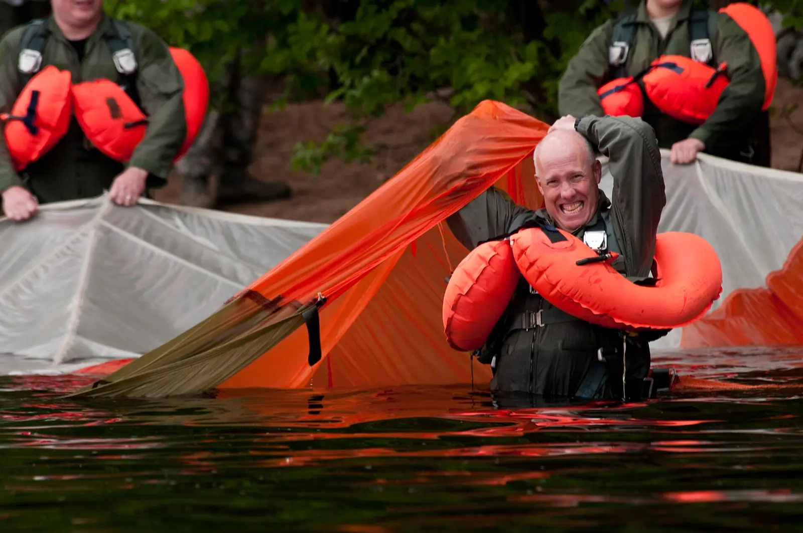

In Washington County, about 6 miles northeast of Cottage Grove, Afton State Park covers about 1,599 acres.
Visitors come for cross-country skiing, horseback riding, winter sports, swimming, and boating. On the water side, there is a swimming beach. For overnight stays there are 3 camping areas (RV sites, tent sites, primitive or hike-in sites, and group camping). The park says there are no showers. Roofed lodging includes cabins, yurts, and camper cabins or similar shelters.
Hours
Park, gate, office and facility hours are listed separately because they often differ. Alerts above override normal hours.
| Facility | Days | Hours | Season |
|---|---|---|---|
| Park | Daily | 8 a.m. – 10 p.m. | — |
| Office | Sun, Mon, Wed, Fri, Sat | 8:30 a.m. – 3:30 p.m. | — |
| Visitor center | Daily | 9 a.m. – 3 p.m. | — |
| Campground | Lodging units and backpack camping are available year-round. The group camps and wall tent are closed during the winter (November-March). | ||
Official wording
Daily from 8 a.m. until 10 p.m.
The ranger station is the first building on the right after the park entrance. Parking permits and other items are available for purchase. Lost and found items are stored here for one month before being donated. Posted hours are subject to change due to training, emergency response, and park maintenance needs. Monday, Wednesday, Friday, Saturday, and Sunday: 8:30am - 3:30pm Tuesday and Thursday: Closed
Visitor Center: The park's visitor center is located next to the main parking lots. Restrooms and water are accessible 24/7 through the south door. No permits or items are sold at this building. Posted hours are subject to change. Monday-Sunday: 9am-3pm
Lodging units and backpack camping are available year-round. The group camps and wall tent are closed during the winter (November-March).
Drinking water: Drinking water is available year-round at the following locations:
Near the Camper Cabins/Yurt parking lot: Dump station: There is no dump station at this park. Electric sites: There are no electric sites at this park. RVs: There are no RV camping sites at this park. The nearest RV sites are at St. Croix Bluffs Regional Park, open seasonally. Programs: Naturalist programs are available year-round. Contact the park naturalist for more information or to schedule a group program. Campgrounds: Lodging units and backpack camping are available year-round. The group camps and wall tent are closed during the winter (November-March). Rentals: Fishing rods/tackle boxes, birding kits, and kids' discovery kits can be checked out for free at the park office. Snowshoe rentals are available during the winter. Showers: There are no shower facilities at this park. Trails: • Horse trails have reopened to riding for the season. Trail conditions are good throughout the park, but there may be some remaining soft/slippery areas. If you encounter any downed trees, please notify the park office of their location and park staff will address them as quickly as possible. Bathrooms: Flush toilets are available year-round in the visitor center. These restrooms can be accessed 24/7 through the south door. Vault toilets are also available year-round throughout the park.
Source: official park page, checked Oct 29, 2026. Times are local to the park (America/Chicago).
Fees and passes
Per vehicle: a state park vehicle permit (one-day $7 or year-round $35) is required for every vehicle; same price for residents and nonresidents. Four free park days per year. Iron Range OHV SRA states 'There is no entrance fee'.
Statewide fee rule from Minnesota's park system; this park’s page doesn’t list its own fees.
Minnesota park passes
- Year-round vehicle permit — $35. Unlimited visits to every Minnesota state park and recreation area for 12 months from the month of purchase Details
- One-day vehicle permit — $7. One day, one vehicle Details
- Additional year-round vehicle permit — $26. Additional vehicles owned by a year-round permit holder Details
- Year-round motorcycle permit — $30. Motorcycle, 12 months Details
- One-day group permit — $5. Group vehicles, one day Details
From the Minnesota state guide. Confirm which passes this park accepts.
Reservations
- Day use
- No day-use reservation requirement mentioned
- Camping
- Required
- Booking system
- Reserve MN (US eDirect)
- Phone
- 866-857-2757
All campsites and lodging require reservations prior to occupying the site.
We link to the official booking system rather than showing live availability, which changes minute to minute.
Pets
No dogs
Not allowed in or on: groomed ski trails.
No pets, open flames or indoor cooking. No pets allowed. No pets, open flames, or indoor cooking. Snowshoers and pets are prohibited on groomed ski trails.
Service animals are generally permitted where pets are not. Check with the park for specific areas.
Camping
| Campground or site type | Sites | Hookups / features | Price |
|---|---|---|---|
| Backpack Sites The main backpack campground has 27 backpack sites available year-round. The sites are non-electric and require a mile hike from the parking area. Drinking water is available year-round, and self-serve firewood is provided for a fee. There's a maximum of six people and two sleeping shelters per site. | — | — | |
| Walk-in Sites A single hike-in site is available and can be accessed from the hiking/bike trail. It is near the swimming beach and lower picnic areas. This site is approximately seven-tenths of a mile from the parking area.
Paddlers can also access the site from the river. This site must be reserved before occupying, and there are no campsites on the beach. | — | — | |
| Group Camp Group Camp 1 is located near the lodging units and contains several drive-in vehicle sites. Group Camp 2 is more secluded and has one large open field for camping.
Both camps can accommodate up to 60 people and have access to bundled firewood, drinking water, and vault toilets. Both group camps are unavailable in the winter. | — | — |
Camping details from the park
Backpack Sites: The main backpack campground has 27 backpack sites available year-round. The sites are non-electric and require a mile hike from the parking area. Drinking water is available year-round, and self-serve firewood is provided for a fee. There's a maximum of six people and two sleeping shelters per site.
Walk-in Sites: A single hike-in site is available and can be accessed from the hiking/bike trail. It is near the swimming beach and lower picnic areas. This site is approximately seven-tenths of a mile from the parking area.
Paddlers can also access the site from the river. This site must be reserved before occupying, and there are no campsites on the beach.
Group Camp: Group Camp 1 is located near the lodging units and contains several drive-in vehicle sites. Group Camp 2 is more secluded and has one large open field for camping.
Both camps can accommodate up to 60 people and have access to bundled firewood, drinking water, and vault toilets. Both group camps are unavailable in the winter.
From the official park page, checked Oct 29, 2026. Site counts and prices can change; confirm when booking.
Cabins and lodging
- Camper Cabins: 4 units
- Wall Tent
- Yurt: 2 units
Accessible Lodging: The Bluebird and White Pine camper cabins are accessible and each sleep five. The Coyote Yurt is accessible and sleeps seven.
Camper Cabins: Four camper cabins with heat and electricity are available year-round. No pets, open flames or indoor cooking. Big Bluestem and Bur Oak each sleep six. Bluebird and White Pine are accessible and each sleep five.
Wall Tent: One wall tent is available seasonally. Maximum occupancy of six, on two raised single bed wood platforms. Shared water spigot and vault toilet nearby. No pets allowed. Maximum two vehicles.
Yurt: Two seven-person yurts are available year-round. Neither has electricity. In the colder months, firewood is provided at no charge for the indoor woodstoves. No pets, open flames, or indoor cooking. The Coyote Yurt is accessible. Both yurts have a covered outdoor cooking shelter
Things to do
HikingCampingFishingSwimmingWinter sportsCross-country skiingPicnickingHorseback ridingBoating
Trails
| Trail | Length | Difficulty | Notes |
|---|---|---|---|
| Accessible (summer) | 0.6 mi | — | 0.6 milesAccessibleAccessible |
| Self-Guided (summer) | 0.75 mi | — | Three-quarters of a mile — Trail begins at visitor center.Self-Guided |
| Hiking (summer) | 20 mi | — | 20 milesHiking |
| Paved Bike (summer) | 4 mi | — | Four milesPaved Bike |
| Horse (summer) | 5 mi | — | Five milesHorse |
| Groomed Cross-Country Skiing Classic (winter) | 11 mi | — | 11 miles — The beginner loop is two and one-half miles long. The rest of the trails are intermediate or advanced. A Great Minnesota Ski Pass is required on groomed ski trails for skiers age 16 and up.Groomed Cross-Country Skiing Classic |
| Snowshoe (winter) | 12 mi | — | 12 miles — There are 12 miles of designated trail in the park open to snowshoes, hiking and running. Snowshoers and pets are prohibited on groomed ski trails. Snowshoe rentals are available from the ranger station.Snowshoe |
| Other (winter) | — | — | Winter hiking trail — The park clears one mile of the paved bike trail for winter hiking.Other |
Trail descriptions from the park
Summer — Accessible — 0.6 miles
Summer — Self-Guided — Three-quarters of a mile: Trail begins at visitor center.
Summer — Hiking — 20 miles
Summer — Paved Bike — Four miles
Summer — Horse — Five miles
Winter — Groomed Cross-Country Skiing Classic — 11 miles: The beginner loop is two and one-half miles long. The rest of the trails are intermediate or advanced.
A Great Minnesota Ski Pass is required on groomed ski trails for skiers age 16 and up.
Winter — Snowshoe — 12 miles: There are 12 miles of designated trail in the park open to snowshoes, hiking and running. Snowshoers and pets are prohibited on groomed ski trails.
Snowshoe rentals are available from the ranger station.
Winter — Other — Winter hiking trail: The park clears one mile of the paved bike trail for winter hiking.
Trail conditions: • Horse trails have reopened to riding for the season.
- Trail conditions are good throughout the park, but there may be some remaining soft/slippery areas.
- If you encounter any downed trees, please notify the park office of their location and park staff will address them as quickly as possible.
Swimming
Swimming Beach: The beach is approximately a half mile walk from the parking lot. There is no lifeguard on duty. River buoys are placed seasonally.
Boating and paddling
Boat Access: The park does not have a boat launch. The park can be accessed by boat using the designated boater beaches.
Boat Docks: A seasonal dock is available for fishing. Boats have right-of-way access if they want to pull up off the river, but the dock is not a boat launch.
Fishing
Fishing: River access is approximately a half mile walk from the parking lot. Fishing is not allowed in the designated beach area.
A state fishing license is usually required.
Amenities
Facilities
- Restrooms
- Flush toilets
- Vault or pit toilets
- Picnic areas
- Picnic shelters
- Visitor center
- Nature center or museum
- Park or camp store
- Group facilities
- Showers: not available (stated by the park)
Water
- Swimming beach
- Marina or boat slips
Camping
- Tent camping
- RV camping
- Primitive or backcountry camping
- Group camping
Lodging
- Cabins
- Yurts
- Glamping or camper cabins
Accessibility
- Accessible cabins or lodging
✓ listed by the park · ✕ the park says it is not available. Anything not shown here isn’t mentioned by the official source — that means unknown, not unavailable.
Accessibility
- Accessible cabins or lodging
Visitor Center — Accessible: The park's visitor center is open daily, and is available for public use when scheduled park programming is not occurring. Tables and chairs provide space for indoor dining and outlets are available for crockpots and coffee makers, but cooking is not allowed inside the building. There is an adjacent outdoor covered pavilion with picnic tables and fireplaces. Both the indoor and outdoor spaces are non-reservable and are available on a first-come, first-served basis. When the main building is locked, use the door on the south side to access restrooms with flush toilets and sinks.
Accessible Lodging: The Bluebird and White Pine camper cabins are accessible and each sleep five. The Coyote Yurt is accessible and sleeps seven.
Read more from the park
Camper Cabins: Four camper cabins with heat and electricity are available year-round. No pets, open flames or indoor cooking. Big Bluestem and Bur Oak each sleep six. Bluebird and White Pine are accessible and each sleep five.
Yurt: Two seven-person yurts are available year-round. Neither has electricity. In the colder months, firewood is provided at no charge for the indoor woodstoves. No pets, open flames, or indoor cooking. The Coyote Yurt is accessible. Both yurts have a covered outdoor cooking shelter
Flush Toilets: Accessible flush toilets are available year-round in the visitor center and ranger station. The visitor center is open 24/7.
Picnic Area — Three picnic areas - two are accessible: All three picnic areas have picnic tables, fire rings, and pedestal charcoal grills.
- The upper picnic area is accessible, located near the parking lot.
- The middle picnic area is 250 yards beyond the upper picnic area, and is also accessible.
- The lower picnic area is one-half mile from parking, and is located at the edge of the St. Croix River.
Picnic Shelter — Two shelters - one is accessible: • A three-sided enclosed shelter with lights and electrical outlets is available at the middle picnic area. This shelter is accessible and has picnic tables, fire rings, a pedestal charcoal grill, and rustic toilet nearby. This is the park's only reservable shelter - call the park to reserve.
- An open-sided covered pavilion is available at the lower picnic area at the edge of the St. Croix River.
Accessible — 0.6 miles
Official accessibility information
Conditions change. Contact the park to confirm specific accessible features before your visit.
Getting there
- Address
- 6959 Peller Avenue South
Hastings, MN 55033 - Nearest town
- Cottage Grove — about 6 mi northeast (straight line)
- Coordinates
- 44.8478, -92.7976
- Phone
- (651) 201-6780
- afton.statepark@state.mn.us
Google Maps directionsApple MapsOfficial park map (PDF)
Directions from the park
GPS Address: 6959 Peller Ave S - Hastings, MN 55033 From St. Paul: Go 9 miles east on I-94 to exit #253, then 7 miles south on Highway 95, then 3 miles east on County Road 22. From Hudson: Go 2 miles west on I-94 to exit #258, then 8 miles south on St. Croix Trail (County Road 21), then east on County Road 22 for 0.5 miles. From Hastings: Go 2 miles north on US Hwy 61, then take a right onto State Hwy 95 and head north for 5 miles. Turn right onto County Road 22 and go east for 3 miles.
Nearby state parks
Sources and freshness
- Minnesota State Parks and Trails — park page — last checked Oct 29, 2026; page says updated Oct 9, 2026
- MN DNR A-Z list of state parks and recreation areas (park IDs in server-rendered <noscript> links) + state waysides page; details from the compass feature_detail JSON API used by park.html
- Wikidata
- USGS PAD-US 4.1 (boundary and acreage)
- Photo: 110611-F-VK102-512 (5880434985).jpg — Public domain (US federal government work), U.S. Department of Defense Current Photos
“Last checked” is when our system last read the official source. “Last changed” (Oct 29, 2026) is when the information shown here last differed from the previous check. Hours, fees and rules can change without notice — confirm with the park before you go. Methodology