Shades State Park
- Status
- Open (per official listing)
- Entrance fee
- Statewide rule — see below
- Day-use reservations
- None mentioned
- Dogs
- Not stated — check with park
- Camping
- 122 campsites
- Official site
- in.gov765-435-2810
Official page last checked Oct 29, 2026. How we keep this current
Current alerts 1
Partial closure TRAIL CLOSURESTrails 7 and 8 at Shades State Park are currently closed due to damaged trail structures.
Posted by the park. Official alert
Overview
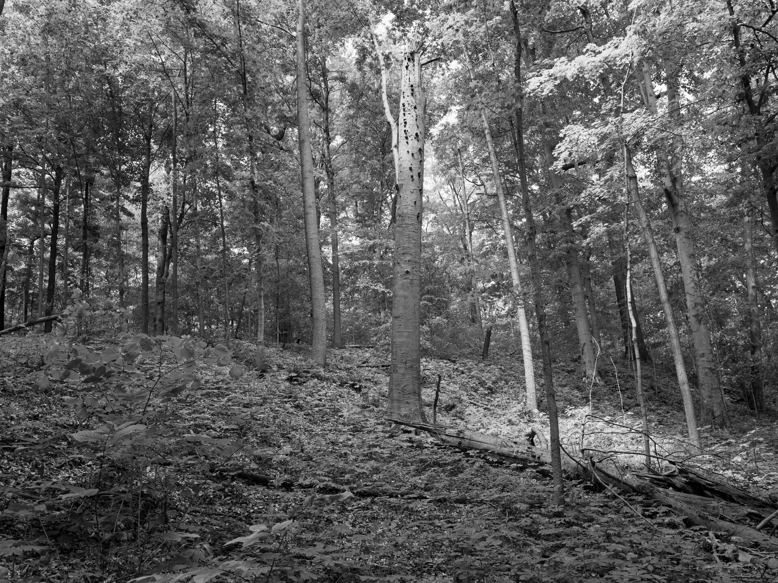
In Montgomery County, about 12 miles southwest of Crawfordsville, Shades State Park covers about 1,815 acres.
Visitors come for stargazing, winter sports, fishing, picnicking, and hiking. Camping is available: 122 campsites across 3 camping areas, including tent sites.
Fees and passes
Per vehicle daily gate fee: $7 Indiana plates / $15 out-of-state at state parks and state-managed lakes; exceptions Indiana Dunes ($7/$20), Prophetstown ($8/$16), Falls of the Ohio Interpretive Center ($9 adult/$7 child); $2 per person age 5+ on foot, bicycle or horseback.
Statewide fee rule from Indiana's park system; this park’s page doesn’t list its own fees.
Indiana park passes
- Annual Entrance Pass — $50. Noncommercial vehicle, driver and passengers at DNR properties that charge a gate fee Details
- Non-resident Annual Entrance Pass — $120. Non-Indiana resident noncommercial vehicles Details
- Golden Hoosier Passport — $25. Indiana residents 65+ or eligible for SS disability; vehicle, driver and passengers Details
- Disabled Hoosier Veteran Pass — $25. Persons eligible for a Disabled Hoosier Veteran plate Details
- SSDI Pass — $25. Indiana residents receiving or eligible for SSDI Details
From the Indiana state guide. Confirm which passes this park accepts.
Reservations
- Day use
- No day-use reservation requirement mentioned
- Booking system
- ReserveAmerica (Indiana State Parks) for camping, cabins, shelters, group camps; separate inn reservations
- Phone
- 1-866-622-6746 (camping, cabins, shelters, group camps); 1-877-563-4371 (inns and Brown County cabins)
We link to the official booking system rather than showing live availability, which changes minute to minute.
Camping
| Campground or site type | Sites | Hookups / features | Price |
|---|---|---|---|
| Non-Electric | 105 | — | |
| Backpack | 7 | — | |
| Canoe Camp | 10 | — |
Camping details from the park
- Non-Electric / 105 sites
- Backpack / 7 sites
- Canoe Camp / 10 sites
- Youth Tent Areas
- Dumping Station
From the official park page, checked Oct 29, 2026. Site counts and prices can change; confirm when booking.
Things to do
PicnickingHikingFishingStargazingWinter sportsCamping
Trails
| Trail | Length | Difficulty | Notes |
|---|---|---|---|
| Trail 1 | 0.75 mi | Moderate/rugged | Begins at Devil’s Punchbowl, lower portion travels through ravine creek bed to Silver Cascade waterfalls. This portion involves steps and hiking in the creek bed. Upper trail portion begins at steps from ravine and goes to Inspiration and Prospect points. |
| Trail 2 | 1.25 mi | Rugged/very rugged | Begins at trail to Lover’s Leap with views of Sugar Creek, upland woods, and ravines. The lower portion goes down Steamboat Rock stairs and continues up Pearl Ravine streambed. This portion may be impassable during high water. |
| Trail 4 | 0.625 mi | Moderate/rugged | Begins at west end of large parking lot with steep climbs through Frisz Ravine with tall beech, oak, and tulip trees. This section uses streambed with steps and ladders and is rated rugged. Portions may be impassable during high water. |
| Trail 5 | 0.75 mi | Moderate/rugged | Begins at west end of large parking lot. Upper portion of trail overlooks Frisz and Kintz Ravines and involves many steps. Lower portion uses streambed of Kintz Ravine with steps and ladder. Portions of trail may be impassable during high water. |
| Trail 6 | 0.5 mi | Easy | Begins at pond and travels along Red Fox Ravine. |
| Trail 7 | 0.875 mi | Rugged | Begins at west end of large parking lot, travels through stand of mature trees and Kickapoo Ravine. Trail is a loop and has steep climbs. One section uses streambed as trail. Portions may be impassable. |
| Trail 8 | 0.75 mi | Rugged | Begins off of Trail 7 and goes through narrow floodplain (may be impassable during high water) and through upland forest. Travels through Shawnee Canyon streambed and along Sugar Creek. Hikers must return by Trail 7. |
| Trail 9 | 0.5 mi | Easy | Begins at pond, through wooded, open areas to youth tent and campground roads. |
| Trail 10 | 1.5 mi | Moderate | Begins at Dell Shelter, leads through successional vegetation and second-growth timber to S.R. 234 and Pine Hill Nature Preserve. |
| Back-Pack Trail | 2.5 mi | Moderate | MODERATE—Trail begins at west end of parking lot and extends 21/2 miles through relatively flat terrain and wooded area to the backpack camp. Note that the backpack camp is closed from late October through early April. |
Trail descriptions from the park
1. MODERATE/RUGGED (.75 mile)—Begins at Devil’s Punchbowl, lower portion travels through ravine creek bed to Silver Cascade waterfalls. This portion involves steps and hiking in the creek bed. Upper trail portion begins at steps from ravine and goes to Inspiration and Prospect points.
2. RUGGED/VERY RUGGED (1.25 miles)—Begins at trail to Lover’s Leap with views of Sugar Creek, upland woods, and ravines. The lower portion goes down Steamboat Rock stairs and continues up Pearl Ravine streambed. This portion may be impassable during high water.
4. MODERATE/RUGGED (.625 mile)—Begins at west end of large parking lot with steep climbs through Frisz Ravine with tall beech, oak, and tulip trees. This section uses streambed with steps and ladders and is rated rugged. Portions may be impassable during high water.
5. MODERATE/RUGGED (.75 mile)—Begins at west end of large parking lot. Upper portion of trail overlooks Frisz and Kintz Ravines and involves many steps. Lower portion uses streambed of Kintz Ravine with steps and ladder. Portions of trail may be impassable during high water.
6. EASY (.5 mile)—Begins at pond and travels along Red Fox Ravine.
7. RUGGED (.875 mile)—Begins at west end of large parking lot, travels through stand of mature trees and Kickapoo Ravine. Trail is a loop and has steep climbs. One section uses streambed as trail. Portions may be impassable.
8. RUGGED (.75 mile)—Begins off of Trail 7 and goes through narrow floodplain (may be impassable during high water) and through upland forest. Travels through Shawnee Canyon streambed and along Sugar Creek. Hikers must return by Trail 7.
9. EASY (.5 mile)—Begins at pond, through wooded, open areas to youth tent and campground roads.
10.MODERATE (1.5 miles)—Begins at Dell Shelter, leads through successional vegetation and second-growth timber to S.R. 234 and Pine Hill Nature Preserve.
BACK-PACK TRAIL (2.5 miles)—MODERATE—Trail begins at west end of parking lot and extends 21/2 miles through relatively flat terrain and wooded area to the backpack camp. Note that the backpack camp is closed from late October through early April.
Boating and paddling
Canoe Camp / 10 sites
Fishing
Fishing
A state fishing license is usually required.
Amenities
Facilities
- Picnic areas
Camping
- Tent camping
✓ listed by the park · ✕ the park says it is not available. Anything not shown here isn’t mentioned by the official source — that means unknown, not unavailable.
Getting there
- Address
- 7751 S. 890 W.
Waveland, IN 47989 - Nearest town
- Crawfordsville — about 12 mi southwest (straight line)
- Coordinates
- 39.9296, -87.0725
- Phone
- 765-435-2810
Google Maps directionsApple MapsOfficial park map (PDF)
Directions from the park
Address: 7751 S. 890 W. Waveland, IN 47989
Nearby state parks
Sources and freshness
- Indiana State Parks — park page — last checked Oct 29, 2026
- Indiana State Parks 'Find A Park' property list + DNR ArcGIS site layers (coordinates)
- Wikidata
- USGS PAD-US 4.1 (boundary and acreage)
- Photo: Public Lands Institute - Shades State Park - 001.tif — CC0 1.0 (public domain dedication), Public Lands Institute
“Last checked” is when our system last read the official source. No change has been detected since this page was first published. Hours, fees and rules can change without notice — confirm with the park before you go. Methodology