O'Bannon Woods State Park
- Status
- Open (per official listing)
- Entrance fee
- Statewide rule — see below
- Day-use reservations
- None mentioned
- Dogs
- Not stated — check with park
- Camping
- 328 campsites
- Official site
- in.gov812-738-8232
Official page last checked Oct 29, 2026. How we keep this current
Current alerts 1
Partial closure STAGESTOP CAMPGROUND AND CANOE ACCESS RAMP CLOSEDContact the office with questions.
Posted by the park. Official alert
Overview
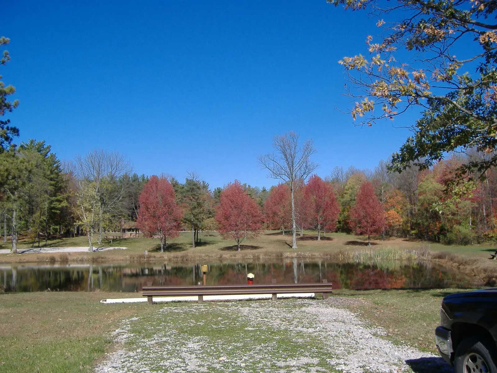

O'Bannon Woods State Park is a 1,754-acre park in Harrison County, about 8 miles west of Corydon.
The park supports horseback riding, mountain biking, boating, fishing, and biking. Water access includes a swimming pool. Camping is available: 328 campsites across 2 camping areas, including tent sites.
Fees and passes
Per vehicle daily gate fee: $7 Indiana plates / $15 out-of-state at state parks and state-managed lakes; exceptions Indiana Dunes ($7/$20), Prophetstown ($8/$16), Falls of the Ohio Interpretive Center ($9 adult/$7 child); $2 per person age 5+ on foot, bicycle or horseback.
Statewide fee rule from Indiana's park system; this park’s page doesn’t list its own fees.
Indiana park passes
- Annual Entrance Pass — $50. Noncommercial vehicle, driver and passengers at DNR properties that charge a gate fee Details
- Non-resident Annual Entrance Pass — $120. Non-Indiana resident noncommercial vehicles Details
- Golden Hoosier Passport — $25. Indiana residents 65+ or eligible for SS disability; vehicle, driver and passengers Details
- Disabled Hoosier Veteran Pass — $25. Persons eligible for a Disabled Hoosier Veteran plate Details
- SSDI Pass — $25. Indiana residents receiving or eligible for SSDI Details
From the Indiana state guide. Confirm which passes this park accepts.
Reservations
- Day use
- No day-use reservation requirement mentioned
- Booking system
- ReserveAmerica (Indiana State Parks) for camping, cabins, shelters, group camps; separate inn reservations
- Phone
- 1-866-622-6746 (camping, cabins, shelters, group camps); 1-877-563-4371 (inns and Brown County cabins)
We link to the official booking system rather than showing live availability, which changes minute to minute.
Camping
| Campground or site type | Sites | Hookups / features | Price |
|---|---|---|---|
| Electric | 281 | Electric | — |
| Horseman Non-Electric | 47 | — |
Camping details from the park
- Electric - 281 sites
- Horseman Non-Electric - 47 sites
- Group Camp: Bed self-contained structures - 50 bunks and 50 single beds
- Dumping Station
From the official park page, checked Oct 29, 2026. Site counts and prices can change; confirm when booking.
Things to do
PicnickingHikingHorseback ridingFishingBoatingBikingMountain bikingCamping
Trails
| Trail | Length | Difficulty | Notes |
|---|---|---|---|
| Aa. Fire Tower To Rocky Ridge Bike And Hike Trail | 8 mi | Moderate to rugged | Begins at the fire tower and travels west, intersecting with the Rocky Ridge Trail. Combined with the Rocky Ridge Trail and with a return to the fire tower this route provides 6 miles of mountain biking and hiking trail. Parking, comfort station and water are available at the fire tower. |
| A. Rocky Ridge Bike And Hike Trail | 2 mi | Moderate | Begins and ends near campsite 35. This loop trail passes through deep ravines and up scenic, rocky slopes. Parking and water are available at the campground. |
| B. Tulip Valley Trail | 2 mi | Moderate | Begins across from the Group Camp, passes through the woods in front of Hickory Hollow Nature Center, and continues up the ridge to the campground. One mile of this trail is universally accessible from the Nature Center. |
| C. Ccc Ghost Trail | 1.25 mi | Rugged | This trail begins and ends at the Group Camp and follows both sides of a dry creekbed. Be prepared for long, steep climbs and rocky descents. Parking is available at the Group Camp. |
| D. Cliff Dweller Trail | 1.75 mi | Moderate | This loop trail crosses a dry creekbed, follows a beautiful, spring-fed creek and has some long stretches of climbing. Parking is available at the Pioneer Shelter House. |
| E. Ohio River Bluff Trail | 1.5 mi | Rugged | This loop trail captures vistas of what the early settlers saw while traveling down the Ohio River. Follow the rocky escarpment bluff, as it meanders down to the horse trail from Shelter House 2 and back to the lower parking lot. It then skirts under the edge of the bluff and up the rock staircase, built by the CCC, back to the shelter. |
| F. Post-Oak Cedar Nature Preserve Trail | 0.8 mi | Rugged | This trail is on Cold Friday Road, 1.5 miles south of the main property office. The Division of Nature Preserves requests that you register at the trailhead before entering the nature preserve. |
| G. Sharp Spring Trail | 1 mi | Moderate | This trail loops around the perimeter of Wyandotte Wetlands and passes Sharp’s Spring on the lake’s backside. The parking lot shelter provides a beautiful spot for a picnic. |
Trail descriptions from the park
O’Bannon Woods State Park offers a motorized wheelchair that can be taken on trails and around facilities.
AA. FIRE TOWER TO ROCKY RIDGE BIKE AND HIKE TRAIL (8 miles) MODERATE TO RUGGED— Begins at the fire tower and travels west, intersecting with the Rocky Ridge Trail. Combined with the Rocky Ridge Trail and with a return to the fire tower this route provides 6 miles of mountain biking and hiking trail. Parking, comfort station and water are available at the fire tower.
A. ROCKY RIDGE BIKE AND HIKE TRAIL (2 miles), MODERATE—Begins and ends near campsite 35. This loop trail passes through deep ravines and up scenic, rocky slopes. Parking and water are available at the campground.
B. TULIP VALLEY TRAIL (2 miles), MODERATE— Begins across from the Group Camp, passes through the woods in front of Hickory Hollow Nature Center, and continues up the ridge to the campground. One mile of this trail is universally accessible from the Nature Center.
BR. BREEDEN RIDGE BIKE & HIKE (1.5 miles), RUGGED—This trail begins at intersection of Rocky Ridge with a hand-built rock garden. A rolling climb takes you to the top of the Breeden Ridge. A log jump sends you toward a small woodland pond, the highest point on the trail. Twisting turns and other features lead to a horse trail crossing, where the trail descends to Potato Run. After a climb up the other side of the creek, the trail levels out and joins the Potato Run Trail.
C. CCC GHOST TRAIL (1.25 miles), RUGGED—This trail begins and ends at the Group Camp and follows both sides of a dry creekbed. Be prepared for long, steep climbs and rocky descents. Parking is available at the Group Camp.
D. CLIFF DWELLER TRAIL (1.75 miles), MODERATE—This loop trail crosses a dry creekbed, follows a beautiful, spring-fed creek and has some long stretches of climbing. Parking is available at the Pioneer Shelter House.
E. OHIO RIVER BLUFF TRAIL (1.5 miles), Rugged—This loop trail captures vistas of what the early settlers saw while traveling down the Ohio River. Follow the rocky escarpment bluff, as it meanders down to the horse trail from Shelter House 2 and back to the lower parking lot. It then skirts under the edge of the bluff and up the rock staircase, built by the CCC, back to the shelter.
F. POST-OAK CEDAR NATURE PRESERVE TRAIL (.8 miles), RUGGED—This trail is on Cold Friday Road, 1.5 miles south of the main property office. The Division of Nature Preserves requests that you register at the trailhead before entering the nature preserve.
G. SHARP SPRING TRAIL (1 mile), MODERATE— This trail loops around the perimeter of Wyandotte Wetlands and passes Sharp’s Spring on the lake’s backside. The parking lot shelter provides a beautiful spot for a picnic.
PR. POTATO RUN BIKE & HIKE (1.2 miles) MODERATE— This trail begins at the campground, sharing access with the Tulip Valley Hiking Trail. At Battleship Rock, the trail splits to the right and flows along the ridge behind the campground before descending into the valley. Bikers should yield to horses at two horse crossings. The trail intersects with the Breeden Ridge Trail, then twists and winds along the edge of Potato Creek before crossing the creekbed.
Boating and paddling
Fishing / Boating
Fishing
Fishing / Boating
A state fishing license is usually required.
Amenities
Facilities
- Picnic areas
- Nature center or museum
Water
- Swimming pool
Camping
- Tent camping
Recreation
- Horse trails
✓ listed by the park · ✕ the park says it is not available. Anything not shown here isn’t mentioned by the official source — that means unknown, not unavailable.
Getting there
- Nearest town
- Corydon — about 8 mi west (straight line)
- Coordinates
- 38.1993, -86.2659
- Phone
- 812-738-8232
Nearby state parks
Sources and freshness
- Indiana State Parks — park page — last checked Oct 29, 2026
- Indiana State Parks 'Find A Park' property list + DNR ArcGIS site layers (coordinates)
- Wikidata
- USGS PAD-US 4.1 (boundary and acreage)
- Photo: Harrison Crawford Obannon Woods 1.jpg — Public domain (released by the author), Bedford at English Wikipedia
“Last checked” is when our system last read the official source. No change has been detected since this page was first published. Hours, fees and rules can change without notice — confirm with the park before you go. Methodology