Mount Tamalpais State Park
- Status
- Open (per official listing)Daily 7 a.m. – sunset
- Entrance fee
- Statewide rule — see below
- Day-use reservations
- None mentioned
- Dogs
- Dogs allowed, with restrictions
- Camping
- Yes
- Official site
- parks.ca.gov(415) 388-2070
Official page last checked Oct 29, 2026. How we keep this current
Current alerts 1
Alert Road work on Pantoll Road starting Monday 11/02/26.Crews will start work grinding and paving parts of Pantoll Road between Panoramic Highway (Pantoll) and Ridgecrest Boulevard (Rock Spring) on Monday… (more)
Crews will start work grinding and paving parts of Pantoll Road between Panoramic Highway (Pantoll) and Ridgecrest Boulevard (Rock Spring) on Monday 11/02/26. Work will only be on weekdays and may continue for up to 3 weeks. What to know: • There will be one-way traffic control on Pantoll Road while road work is being done -- allow extra drive time on weekdays. • Construction equipment may be staged at Trojan Point and Rock Spring -- do not disturb equipment and plan for extra time to find parking at Trojan Point during busy times. • There should be no traffic control on weekends, but equipment may still be in parking areas. Pardon our dust and drive safely! No water available at Pantoll and Bootjack Campgounds Due to a seasonal water shortage, Pantoll and Bootjack Campgrounds do not have running water at this time. Campers should bring water for drinking, cooking, and washing. Hikers and bikers can get water from Pantoll during Kiosk operation hours (typically 9am to 3pm). Water is also available at Cardiac Hill, Mountain Theater, East Peak, Mountain Home, Alice Eastwood Group Camp, and Frank Valley Horse Camp.
Posted by the park. Official alert
Overview
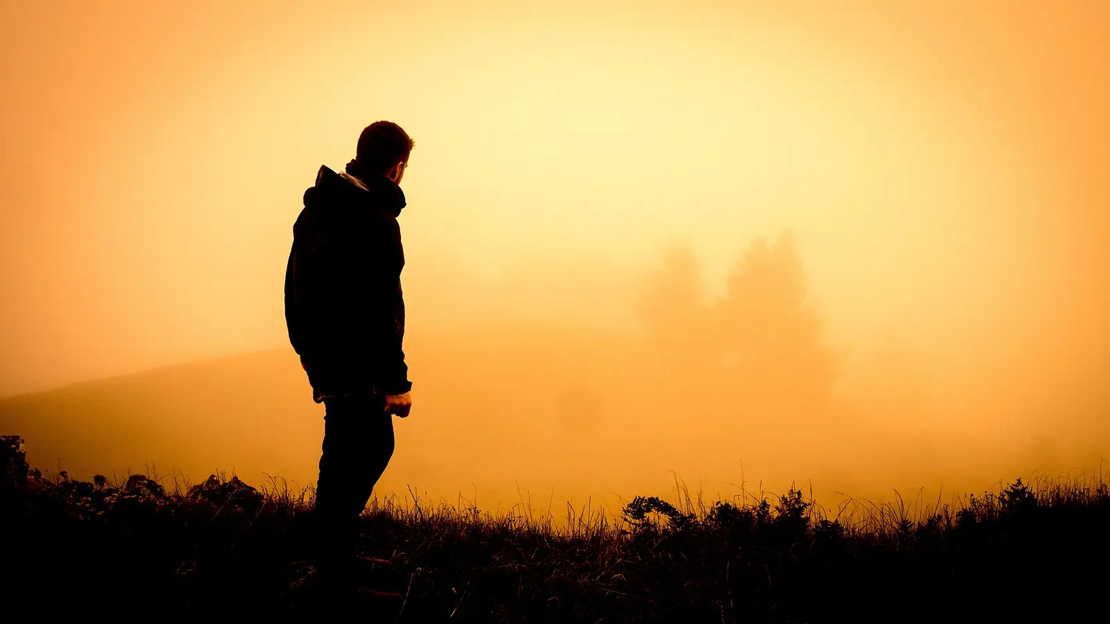

Mount Tamalpais State Park is a 6,454-acre park in Marin County, about 2 miles northwest of Mill Valley.
Things to do include snorkeling and diving, surfing, horseback riding, historic sites, and swimming. On the water side, there is a swimming beach. Camping is available: campsites, including tent sites, group camping, and equestrian camping.
Hours
Park, gate, office and facility hours are listed separately because they often differ. Alerts above override normal hours.
| Facility | Days | Hours | Season |
|---|---|---|---|
| Park | Daily | 7 a.m. – sunset | — |
Official wording
Daily: 7:00 a.m. to Sunset, year round.
Weather: Spring and summer temperatures are warm, with average highs in the 80s and 90s. Fall and winter can be cool, with temperatures in the 50s. Fog is common.
Source: official park page, checked Oct 29, 2026. Times are local to the park (America/Los Angeles).
Fees and passes
Per vehicle at most parks (vehicles of 9 people or less, walk/bike-in free); per person at State Historic Parks and museums; amounts vary by park and are listed on each park page.
Statewide fee rule from California's park system; this park’s page doesn’t list its own fees.
California park passes
- California Explorer Annual Pass — $195. Vehicle day-use entry to 134 state parks incl. high-demand Southern California beaches Details
- Golden Poppy Annual Pass — $125. Vehicle day-use entry to 112 state parks Details
- Historian Passport — $50. Admission for up to four people at per-person-fee State Historic Parks Details
- Off-Highway Vehicle (OHV) Annual Pass — $50. Entry to State Vehicular Recreation Areas that collect day-use fees Details
- SNO-Park Pass — $40 season / $15 day. 18 SNO-PARK winter recreation areas Details
From the California state guide. Confirm which passes this park accepts.
Reservations
- Day use
- No day-use reservation requirement mentioned
- Booking system
- ReserveCalifornia
- Phone
- (800) 444-7275
We link to the official booking system rather than showing live availability, which changes minute to minute.
Pets
Dogs allowed, with restrictions
Not allowed in or on: the following areas: trails.
Are dogs allowed? Yes: Dogs allowed only in developed areas. Dogs not allowed in the following areas: trails, dirt roads, and backcountry areas. Dogs (except for service animals) are ONLY allowed on paved roads, Old Stage Fire Rd, Verna Dunshee Trail, in developed areas, campgrounds, and picnic areas. Pets must remain on leash at all times. All natural and cultural park resources (rocks, flowers, wood, animals) are protected by law and must not be disturbed or removed. Dogs (except for service animals) are ONLY allowed on paved roads, Old Stage Fire Rd, Verna Dunshee Trail, in developed areas, campgrounds, and picnic areas. Pets must remain on leash at all times.
Service animals are generally permitted where pets are not. Check with the park for specific areas.
Camping
First-come/first-serve camping is available at Pantoll or Bootjack Campgrouds. These are walk-up tent camping sites. There is no RV/camper camping in these campgrounds. Visitors can also reserve a group campsite at Alice Eastwood Group Camp or a rustic cabin or seaside campsite at the Steep Ravine Cabins and Environmental Campground through our agency Reserve California.
Dogs (except for service animals) are ONLY allowed on paved roads, Old Stage Fire Rd, Verna Dunshee Trail, in developed areas, campgrounds, and picnic areas. Pets must remain on leash at all times.
Smoking, camping and fires are never permitted in the upper mountain. If not under red flag alert, fires are permitted on the lower mountain only in provided firepits.
Camping in vehicles is PROHIBITED in all parking lots.
- Pantoll and Bootjack campgrounds each have accessible camping, restrooms and parking.
- Cabin #1 and environmental campsite #7 at Steep Ravine are accessible.
Overnight facilities: Equestrian Campsites, Tent Camping, Group Campsites, Hike-and-Bike Campsites, Remote Camping
From the official park page, checked Oct 29, 2026. Site counts and prices can change; confirm when booking.
Things to do
Historic sites and toursPicnickingFishingRanger and interpretive programsSnorkeling and scubaSwimmingWildlife viewing and birdingSurfingGeocachingHikingHorseback ridingCamping
Trails
Trail Updates
PERMANENT CLOSURE OF MATT DAVIS SPUR AND BRIDGE
Due to the deterioration of the bridge and lack of safe access, the Matt Davis Spur Trail (accessed off Laurel Avenue) is PERMANENTLY CLOSED by Superintendent Order from the State Park boundary to its junction with Matt Davis Trail. Matt Davis Trail may be accessed from the trailhead (behind the Fire Station and near the Stinson Beach Community Center).
If you have questions regarding trail closures, please contact the Pantoll Kiosk at (415) 388-2070.
MUIR WOODS NATIONAL MONUMENT
Many trails in Mount Tamalpais State Park connect with trails in the neighboring Muir Woods National Monument. Please check their alerts page for information on any trail work or trail closures there.
Amenities
Facilities
- Restrooms
- Drinking water
- Picnic areas
- Visitor center
- Nature center or museum
- Parking
- Group facilities
Water
- Swimming beach
Camping
- Tent camping
- Group camping
- Equestrian camping
Recreation
- Horse trails
✓ listed by the park · ✕ the park says it is not available. Anything not shown here isn’t mentioned by the official source — that means unknown, not unavailable.
Accessibility
Overview
Mount Tamalpais State Park includes 6,300 acres of redwood groves and oak woodlands with a spectacular view from the 2,571-foot peak. The park is off Route 1 via the Stinson Beach exit at 801 Panoramic Highway, Mill Valley. Phone (415) 388-2070 for more information.
Camping
Steep Ravine Environmental Campground: About 1.5-miles south of Stinson Beach, this environmental campground has seven walk-in campsites available. Campsite #7 is accessible and conveniently located within a short distance of accessible parking and restrooms.
Steep Ravine Cabins: Located just north of the environmental campground, nine rustic cabins are available. The cabins are often reserved as soon as they become available, so it is essential to plan ahead if you want to experience this popular location. Cabin #1, also called “William Kent”, is accessible. Beds, turning space, a table, and counter are accessibly designed. Accessible parking and restrooms are available nearby. Visit Access Northern California for detailed cabin accessibility information and photos.
Read more from the park
Alice Eastwood Group Camp: Group campsite A is usable, including parking. Nearby restrooms are generally accessible.
Bootjack and Pantoll Campgrounds: Bootjack and Pantoll Campgrounds are along the Panoramic Highway, about 0.4-mile from one another. Each campground has a single parking lot that serves approximately 15 campsites. Route to campsites is generally accessible. In the Pantoll Campground site #2 is designated accessible, while in the Bootjack Campground sites #1 and #11 are designated accessible. Accessible parking, restrooms, and drinking fountains are available in both campgrounds.
Frank Valley Horse Camp: Accessible campsites, no-flush restroom, and van parking space are available.
Trails
The McKennan Gulch Trail is an ‘out-and-back’ accessible trail that that is 0.12 miles each way that begins at a turnout along Ridgecrest Drive. Although short, the trail leads to a spectacular overlook of the Bolinas Lagoon and Pacific Ocean below. The surface is compacted soil. The trail is generally flat at less than 5%. Accessible parking is available at the trailhead.
The Verna Dunshee Trail is a 0.71 mile accessible loop trail that offers fine panoramic views of the San Francisco Bay area. The surface is asphalt. The trail is generally flat at less than 5% slopes with intermittent sections between 5% to 8% and one section for 12 feet at 9%. Accessible parking, picnic tables, restroom facilities, and drinking fountain are available at the trailhead.
The Old Mine Trail is an ‘out-and-back’ accessible trail that is 0.56 miles each way through evergreen forest. The surface is compacted soil. The trail out from the Pantoll Parking Lot is generally downhill. Therefore, the return hike is generally uphill. The trail is generally flat at less than 5% with intermittent sections between 5% to 8% and two sections of 7 feet and 9 feet at 10%. There is accessible parking and restroom available at the Pantoll Parking lot.
Trail Name Running Slope Cross Slope Trail Width Trail Surface
McKennan Gulch Trail 3% Average 4 FT Average Soil
5% Maximum 5% Maximum 4 FT Minimum
Verna Dunshee Trail 3% Average 5 FT Average Asphalt
5% Maximum 2% Maximum 5 FT Minimum
Old Mine Trail 4% Average 4 FT Average Soil
10% Maximum 5% Maximum 4 FT Minimum
Exhibits/Programs
East Peak Area: The Visitor Center and Gravity Car Barn are accessible however assistance may be needed on the steep paved path between parking and the use area.
Mountain Theater: The Cushing Memorial Amphitheater, built of natural stone in the 1930s by the Civilian Conservation Corps, has an accessible viewing platform and companion seating. Accessible parking, route to the viewing platform, and an accessible vault restroom are available near the theater. These features are available via a controlled access service road that can be opened during special events. Contact park staff or the Mountain Play Association for more information.
Official accessibility information
Conditions change. Contact the park to confirm specific accessible features before your visit.
Rules and permits
Important Rules
DRONES are prohibited at Mount Tamalpais State Park per Superintendent's Order 22-660-002.
Mushroom collecting is not allowed at Mount Tamalpais State Park. All natural and cultural park resources (rocks, flowers, wood, animals) are protected by law and must not be disturbed or removed.
Bicycles are allowed only on fire roads and Coast View Trail.
Be alert for: poison oak, rattlesnakes, mountain lions, and ticks.
Horses are allowed only on fire roads and where specifically posted.
Getting there
- Address
- 801 Panoramic Highway
Mill Valley, CA 94941 - Nearest town
- Mill Valley — about 2 mi northwest (straight line)
- Coordinates
- 37.9274, -122.5800
- Phone
- (415) 388-2070
- Peter.Ostroskie@Parks.ca.gov
Entrances
- Directions point
Google Maps directionsApple MapsOfficial park map (PDF)
Directions from the park
The park is located North of San Francisco's Golden Gate. From Highway 101 take Highway 1 to the Stinson Beach exit and follow signs up the mountain. See Park Brochure Map for other entrances.
Nearby state parks
Sources and freshness
- California State Parks — park page — last checked Oct 29, 2026
- California State Parks Listing page (one link per unit, page_id = officialId), unioned with the CSP Enterprise GIS 'ParkEntryPoints' ArcGIS layer (coords, address, county, unit number, management status) and the 'CSPParkUnit_CurrentStatus' layer (open/partial/full closure)
- Wikidata
- USGS PAD-US 4.1 (boundary and acreage)
- Photo: Surreal Colors of Mt Tam, Cali, USA, 2017 (Unsplash).jpg — CC0 1.0 (public domain dedication), Aaron Thomas aaronphs
“Last checked” is when our system last read the official source. No change has been detected since this page was first published. Hours, fees and rules can change without notice — confirm with the park before you go. Methodology