Marshall Gold Discovery State Historic Park
- Status
- Open (per official listing)Daily 8 a.m. – 5 p.m.
- Entrance fee
- $10 per dayAnnual pass available
- Day-use reservations
- None mentioned
- Dogs
- Dogs allowed, with restrictions
- Camping
- None listed
- Official site
- parks.ca.gov(530) 622-3470
Official page last checked Oct 29, 2026. How we keep this current
Overview
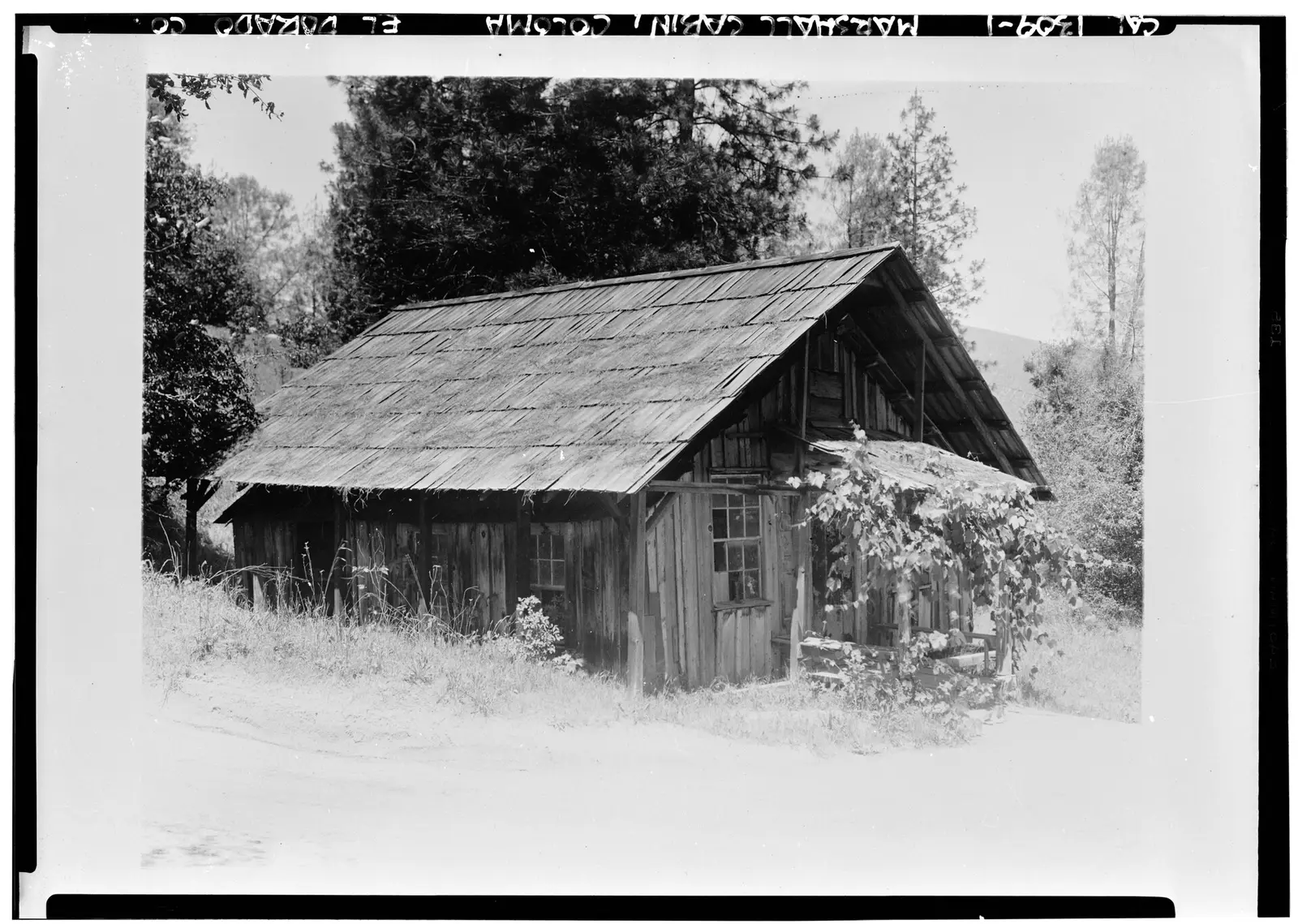
Marshall Gold Discovery State Historic Park is a 568-acre historic site in El Dorado County, about 7 miles northwest of Placerville.
Popular activities here are historic sites, boating, fishing, ranger programs, and picnicking. Water access includes a swimming beach.
Hours
Park, gate, office and facility hours are listed separately because they often differ. Alerts above override normal hours.
| Facility | Days | Hours | Season |
|---|---|---|---|
| Day use | Daily | 8 a.m. – 5 p.m. | — |
| Visitor center | Not stated | 9 a.m. – 4 p.m. | — |
| Park — Mercantile | Daily | 10 a.m. – 4 p.m. | — |
| Park | Closed Thanksgiving, Christmas | ||
Official wording
Day Use Areas: 8am - 5pm
Visitor Center and Museum: 9am to 4pm
Mercantile Hours: 10am - 4pm
Closed Thanksgiving, Christmas
Source: official park page, checked Oct 29, 2026. Times are local to the park (America/Los Angeles).
Fees and passes
| Item | Amount |
|---|---|
| Vehicle Day Use | $10 |
Official wording
Special rates may apply for peak season, high demand holiday periods, and during weekends. Prices are subject to change without notice. • Vehicle Day Use: $10.00
California park passes
- California Explorer Annual Pass — $195. Vehicle day-use entry to 134 state parks incl. high-demand Southern California beaches Details
- Golden Poppy Annual Pass — $125. Vehicle day-use entry to 112 state parks Details
- Historian Passport — $50. Admission for up to four people at per-person-fee State Historic Parks Details
- Off-Highway Vehicle (OHV) Annual Pass — $50. Entry to State Vehicular Recreation Areas that collect day-use fees Details
- SNO-Park Pass — $40 season / $15 day. 18 SNO-PARK winter recreation areas Details
From the California state guide. Confirm which passes this park accepts.
Reservations
- Day use
- No day-use reservation requirement mentioned
- Booking system
- ReserveCalifornia
- Phone
- (800) 444-7275
We link to the official booking system rather than showing live availability, which changes minute to minute.
Pets
Dogs allowed, with restrictions
Not allowed in or on: buildings.
Are dogs allowed? Yes: Dogs on leash allowed on trails and in the river. Dogs not allowed in buildings.
Service animals are generally permitted where pets are not. Check with the park for specific areas.
Things to do
BoatingHistoric sites and toursPicnickingFishingRanger and interpretive programsHiking
Amenities
Facilities
- Restrooms
- Drinking water
- Picnic areas
- Visitor center
- Nature center or museum
- Restaurant or food service
- Parking
Water
- Swimming beach
✓ listed by the park · ✕ the park says it is not available. Anything not shown here isn’t mentioned by the official source — that means unknown, not unavailable.
Accessibility
Overview
Marshall Gold Discovery State Historic Park is the place where James W. Marshall found some shining flecks of gold in the tailrace of the sawmill he was building for himself and John Sutter. This discovery in 1848 changed the course of history in California and the nation. The park has a museum with exhibits that tell the story of the Gold Rush, a replica of the sawmill, and a fair number of historic buildings. The park is located on Highway 49 at 310 Back Street in Coloma. Phone (530) 622-3470 for more information.
Picnic Area
The North Beach Group Picnic Area has accessible parking, accessibly designed and located picnic tables, and an accessible restroom.
The Main Picnic Area behind the Gold Discovery Museum has accessible tables and may be usable in dry weather with some assistance. Additionally, shaded accessible picnic tables are located adjacent to the Gold Discovery Museum. Accessible parking and restrooms are available at the Gold Discovery Museum, and across Highway 49 at the North Beach Group Picnic Area.
Read more from the park
Trails
The Levee Trail is a 0.25 mile trail that starts at an accessible parking lot located near the northeast side of the Mt. Murphy Road bridge. The trail takes visitors along the South Fork of the American River and terminates at a river overlook. Accessible parking is provided at the trailhead.
The Gold Discovery Trails are a 1.0 mile system of trails located between the Gold Discovery Museum and the Gold Discovery site. The trails provide access to historic mining infrastructure and native American bedrock mortars. Accessible picnicking and restrooms are provided along the trail route.
Exhibits/Programs
Approximately a dozen historic structures are located along the main street or on a hill overlooking the street. Most buildings are usable. Many freestanding interpretive panels are scattered throughout the park and are accessible.
Emmanuel Church: The church is available by reservation and for park sponsored special events only. Accessible parking and the accessible route into the church are located at the rear southwest entrance. To preserve the historic architecture of the church, a portable ramp is available for accessing the main room of the facility. All reservations and park sponsored special events are monitored by park staff who will assist with movement and placement of the detachable ramp. Contact the park directly for reservations or for more information at (530) 622-3470.
Gold Discovery Museum: The museum and exhibits within are accessible. Accessible parking and restrooms are available at the museum, and across Highway 49 at the North Beach Group Picnic Area. An accessible route that crosses Highway 49, connects the museum to the Gold Discovery Site, Sutter's Mill, and accessible exhibits at the site of the mill.
Official accessibility information
Conditions change. Contact the park to confirm specific accessible features before your visit.
Rules and permits
Water Safety and Gold Panning
Record snowfall is expected to bring high, fast rivers and streams this spring, which is why California State Parks / Division of Boating and Waterways, the Department of Water Resources (DWR), and Cal Fire are urging the public to take extra precautions and to be aware of cold-water dangers this spring to avoid a tragedy.
With the excessive snowpack and rain this year, rising water levels in rivers and streams will be very cold, very fast, making any activity at the water's edge potentially hazardous including gold panning. These conditions can easily overwhelm those who aren't prepared or don't heed warnings. All Californians are being encouraged to wait until it's safer to recreate in the summer.
Read more from the park
Please plan ahead, know the water, now your limits, know about life jackets, and supervise your children in and around open bodies of water. Let's all make safety a top priority when recreating this spring.
Reexamining Our Past at
Marshall Gold Discovery State Historic Park
State Parks is expanding its interpretation beyond what was once a narrow focus on memorializing the people and events leading up to the gold discovery and its immediate aftermath per the 1979 general plan. Today’s efforts involve engaging in formal government-to-government tribal consultations, conducting archival research, and meeting with families whose history is connected to the Coloma Valley. This reflects a commitment to broadening the historical context and bringing forward those stories that were too often overlooked or marginalized in interpretation program and exhibits. Learn more at Reexamining Our Past at Marshall Gold Discovery State Historic Park.
Getting there
- Address
- 400 Back St
Placerville, CA 95667 - Nearest town
- Placerville — about 7 mi northwest (straight line)
- Coordinates
- 38.8002, -120.8920
- Phone
- (530) 622-3470
- marshallgoldshp@gmail.com
Entrances
- Directions point
Google Maps directionsApple MapsOfficial park map (PDF)
Directions from the park
The park is located in Coloma on Highway 49 between Placerville and Auburn.
Nearby state parks
Sources and freshness
- California State Parks — park page — last checked Oct 29, 2026
- California State Parks Listing page (one link per unit, page_id = officialId), unioned with the CSP Enterprise GIS 'ParkEntryPoints' ArcGIS layer (coords, address, county, unit number, management status) and the 'CSPParkUnit_CurrentStatus' layer (open/partial/full closure)
- Wikidata
- USGS PAD-US 4.1 (boundary and acreage)
- Photo: Historic American Buildings Survey Wells Fargo Bank Historical Museum, S.F. Photographed- June 1926 HERE LIVED JAMES W. MARSHALL WHO DISCOVERED THE MIGHTY SECRET OF THE SIERRA - HABS CAL,9-COLO,2-1.tif — Public domain (US federal government work)
“Last checked” is when our system last read the official source. No change has been detected since this page was first published. Hours, fees and rules can change without notice — confirm with the park before you go. Methodology