Palouse to Cascades State Park Trail East
Also known as John Wayne Pioneer Trail, Palouse to Cascades State Park, Palouse to Cascades Trail
2 notices: Burn Ban · Burn Ban No fires at any time — details
- Status
- Open (per official listing)
- Entrance fee
- $10 per dayAnnual pass available
- Day-use reservations
- None mentioned
- Dogs
- Dogs allowed
- Camping
- Yes
- Official site
- parks.wa.gov(509) 646-9218
Official page last checked Oct 29, 2026. How we keep this current
Current alerts 4
Fire restriction Burn BanNo fires permitted at any time.
Posted by the park. Official alert
Partial closure Part of the Park is ClosedThe trestle at Revere is temporary closed for repairs. Revere Road can be utilized as a detour. View a map of the closed trestle.
Posted by the park 2026-07-02. Official alert
Construction Constructionwill occur on the Palouse to Cascades State Park Trail beginning at the intersection with Hole-In-The-Ground Rd. heading West for 3.5 miles. This… (more)
will occur on the Palouse to Cascades State Park Trail beginning at the intersection with Hole-In-The-Ground Rd. heading West for 3.5 miles. This work is set to start December 2026 and end June 2027. The work includes trestle decking. Once construction has begun this section of trail will be closed to access. Site Reference Point
Posted by the park 2026-10-14. Official alert
Fire restriction Burn Ban No fires at any timeNo fires permitted at any time. Learn more about this Burn Ban alert
Posted by the park 2025-06-09. Official alert
Overview
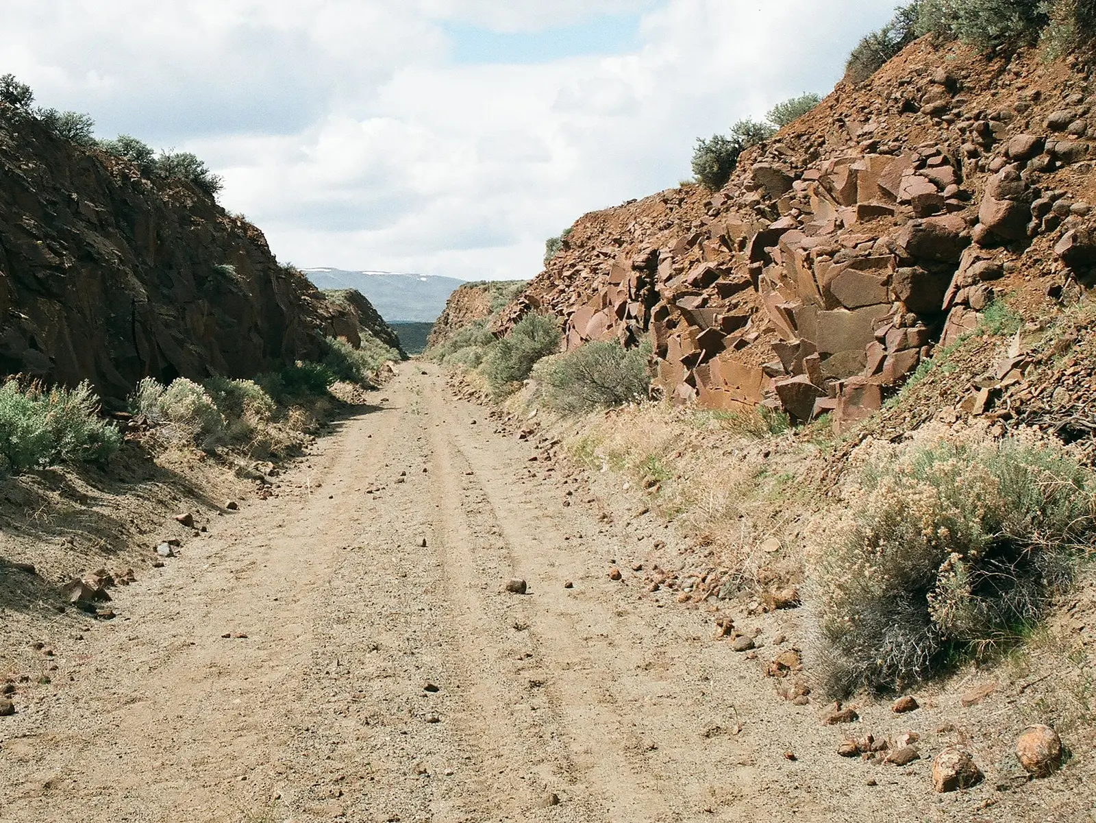

Palouse to Cascades State Park Trail East is a trail in Whitman County, about 24 miles southeast of Cheney.
Things to do include horseback riding, biking, wildlife watching, fishing, and hiking. For overnight stays there are campsites (tent sites).
Hours
Park, gate, office and facility hours are listed separately because they often differ. Alerts above override normal hours.
| Facility | Days | Hours | Season |
|---|---|---|---|
| Other — Summer | Daily | 6:30 a.m. – sunset | — |
| Other — Winter | Daily | 8 a.m. – sunset | — |
Official wording
Summer: 6:30 a.m. - Dusk
Winter: 8:00 a.m. - Dusk
Source: official park page, checked Oct 29, 2026. Times are local to the park (America/Los Angeles).
Fees and passes
| Item | Amount |
|---|---|
| Discover pass: Annual Pass | $45 · year |
| One-day Pass | $10 |
Official wording
Discover pass: • Annual Pass: $45 • One-day Pass: $10 • Entrance fees: Varies
Washington park passes
- Discover Pass (annual) — $45. Day-use vehicle access to state parks (and DNR/WDFW lands) Details
- Discover Pass (one-day) — $10. Day-use vehicle access for one day Details
From the Washington state guide. Confirm which passes this park accepts.
Reservations
- Day use
- No day-use reservation requirement mentioned
- Booking system
- Camis (washington.goingtocamp.com)
- Phone
- (888) 226-7688
We link to the official booking system rather than showing live availability, which changes minute to minute.
Pets
Dogs allowed
Dogs Allowed on Leash • Dogs Allowed on Leash
Service animals are generally permitted where pets are not. Check with the park for specific areas.
Camping
Camping
The park in Ralston is an oasis of green grass and has several campsites on the south side. Water is available here.
Escure Ranch near Revere, owned by the Bureau of Land Management, allows dispersed camping on the property and has several additional campsites. There are some fire rings a vault toilet. There is no water available, so please come prepared.
Rosalia allows tent camping (maximum 2-night stay) in Rosalia City Park with a reservation. Please call (509) 879-1905 for reservations. Water is available here.
By car: Potholes State Park is located 18 miles west of Warden and has cabins, standard and full-hookup sites. Water, restrooms and showers are available.
From the official park page, checked Oct 29, 2026. Site counts and prices can change; confirm when booking.
Things to do
BikingWildlife viewing and birdingCampingFishingHikingHorseback riding
Trails
| Trail | Length | Difficulty | Notes |
|---|---|---|---|
| Long-Distance Trail Surface Rating Map | — | — | Use this map to see what the trail surface is like along various segments of our long-distance trails. Please note: Washington State Parks recognizes that not all features of the map may meet website accessibility and assistive technology standards. We have included this map as one of many resources for finding accessible recreation opportunities at our parks. If you cannot access this map, please call our State Parks Information Center at (360) 902 - 8844.Accessible |
Trail descriptions from the park
Long-Distance Trail Surface Rating Map
Use this map to see what the trail surface is like along various segments of our long-distance trails.
Please note: Washington State Parks recognizes that not all features of the map may meet website accessibility and assistive technology standards. We have included this map as one of many resources for finding accessible recreation opportunities at our parks. If you cannot access this map, please call our State Parks Information Center at (360) 902 - 8844.
Amenities
Facilities
- Restrooms
- Parking
- Drinking water: not available (stated by the park)
Camping
- Tent camping
Recreation
- Horse trails
Accessibility
- Accessible trails
✓ listed by the park · ✕ the park says it is not available. Anything not shown here isn’t mentioned by the official source — that means unknown, not unavailable.
Accessibility
- Accessible trails
Accessible facilities listed: Accessible Trails
Official accessibility information
Conditions change. Contact the park to confirm specific accessible features before your visit.
Rules and permits
- Day-Use Only
- Dogs Allowed on Leash
- Fires not Allowed
- Horses Allowed
Trail use registration
The roughly 126-mile eastern portion of the Palouse to Cascades State Park Trail requires registration. Learn more and register here. If your group is larger than 20 people, please call us at (509) 337-6457.
Stay on trail
Staying on the trail is crucial for all trail users. Adjacent properties are not open to the public. Going off trail is trespassing on private property.
Closures and detours
Sections of the trail pass through private property, have active rail lines or are missing trestles and bridges. Please respect all closures and detours. Always check the trail map before you head out.
Cow Creek Trestle bypass
The Cow Creek Trestle Bypass is open seasonally March 1-Oct. 31. Out of season, this section of trail is closed between mile markers 1930 and 1935.
Winter schedule
Getting there
- Nearest town
- Cheney — about 24 mi southeast (straight line)
- Coordinates
- 47.2292, -117.2500 (from Wikidata)
- Phone
- (509) 646-9218
- PTC.East@parks.wa.gov
Nearby state parks
Sources and freshness
- Washington State Parks — park page — last checked Oct 29, 2026
- Washington State Parks Find Parks directory (paged Drupal view), joined to WSPRC ParkBoundaries ArcGIS layer for coordinates/category
- Wikidata
- Photo: John Wayne Pioneer Trail - east end of Iron Horse park.jpg — Public domain (released by the author), Williamborg
“Last checked” is when our system last read the official source. No change has been detected since this page was first published. Hours, fees and rules can change without notice — confirm with the park before you go. Methodology