Norris Dam State Park
- Status
- Open (per official listing)
- Entrance fee
- Not posted
- Day-use reservations
- None mentioned
- Dogs
- Dogs allowed, with restrictions
- Camping
- YesAlso cabins
- Official site
- reserve.tnstateparks.com(865) 425-4500
Official page last checked Oct 29, 2026. Details last changed Oct 29, 2026. How we keep this current
Current alerts 2
Partial closure Trailhead Temporarily ClosedDue to construction associated with the campground renovation on the west side of the park, the trailhead at the Canteen Camp Store is currently… (more)
Due to construction associated with the campground renovation on the west side of the park, the trailhead at the Canteen Camp Store is currently inaccessible. Thank you for your patience and understanding, and please contact the park office if you have any questions.
Posted by the park. Official alert
Partial closure Campground Closure NoticeThe Norris Dam West Campground and East Campground are currently closed for renovations. We apologize for any inconvenience.
Posted by the park. Official alert
Overview
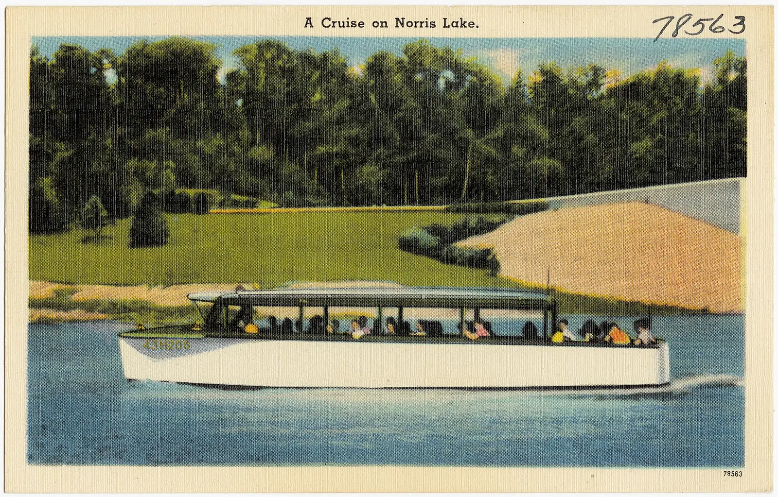

Norris Dam State Park is a 2,800-acre park in Campbell County, about 3 miles east of Rocky Top.
Popular activities here are historic sites, canoeing and kayaking, boating, swimming, and fishing. Water access includes a boat ramp and boat or kayak rentals. Overnight options include 6 camping areas, with RV sites, tent sites, and primitive or hike-in sites. There are also cabins for rent.
Hours
Park, gate, office and facility hours are listed separately because they often differ. Alerts above override normal hours.
| Facility | Days | Hours | Season |
|---|---|---|---|
| Office | Not stated | 8 a.m. – 4:30 p.m. | — |
| Campground | Please note that check-in time for camping is 4:00 pm. Check-out time is 12:00 pm. | ||
Official wording
Office Hours: 8:00am - 4:30pm
Park Office Hours: 8:00am - 4:30pm
Please note that check-in time for camping is 4:00 pm. Check-out time is 12:00 pm.
Source: official park page, checked Oct 29, 2026. Times are local to the park (America/New York).
Reservations
- Day use
- No day-use reservation requirement mentioned
- Booking system
- Tennessee State Parks reservation site (itinio platform) for camping, cabins, shelters, programs; some lodges/cabins via reseze.net; golf via foreUP
- Phone
- 1-888-867-2757 (888-TNPARKS)
We link to the official booking system rather than showing live availability, which changes minute to minute.
Pets
Dogs allowed, with restrictions
Not allowed in or on: cabins.
Cabin Pet Policy A limited number of cabins are available at each park for guests who travel with their pets. Guests must sign a Pet Policy Liability Form (CN-1181) upon check-in agreeing to abide by TN State Parks pet policy set forth and there is a $20 charge per night per pet that will be assessed at check-in. Pets are strictly prohibited inside cabins unless they are specifically designated as a pet-friendly cabin and all additional pet charges are paid. Due to allergy issues, pets may not be kept on porches or decks of non-pet cabins. If pets are kept at non-pet cabins, a minimum penalty of $100.00, plus all applicable nightly pet fees will be assessed. Additional charges for damages caused by pets may also be assessed at the discretion of management. Additional charges may also be assessed at the discretion of management for damages caused by guests, their visitors, pets, etc.
Service animals are generally permitted where pets are not. Check with the park for specific areas.
Camping
| Campground or site type | Sites | Hookups / features | Price |
|---|---|---|---|
| West Campground | — | — | |
| East Campground | — | — | |
| East Primitive Campground | — | — | |
| Backcountry Campsite 3 | — | — | |
| Backcountry Campsite 1 | — | — | |
| Backcountry Campsite 2 | — | — |
Camping details from the park
With two complete campgrounds to chose from, Norris Dam has a site for every type of camper. A backcountry campground is also available on top of Andrews Ridge for those looking to add a little more adventure.
From the official park page, checked Oct 29, 2026. Site counts and prices can change; confirm when booking.
Cabins and lodging
Ten standard cabins and 19 historic CCC cabins are available to reserve at Norris Dam State Park. Each cabin comes fully furnished with amenities to ensure a comfortable stay.
Things to do
CampingHistoric sites and toursBoatingFishingCanoeing and kayakingSwimmingHikingBiking
Trails
| Trail | Length | Difficulty | Notes |
|---|---|---|---|
| Andrews Ridge Trail | 1.95 mi | Moderate | West Side: Andrews Ridge Trail System Blazed White. This loop trail offers a wide variety of terrains and can be hiked in either direction. This great hike will lead you right to Norris Lake and even offer views of it as you hike.HikeMountain bikeNatural surface |
| Camp Sam Trail | 1.5 mi | Hard | East Side: Highway 441 Area Blazed Blue. This trail is easy to enter and explore the CCC Camp. If you wish to complete the trail in its entirety, the backside becomes rather difficult as you steeply traverse up to the first junction and kiosk on High Point Trail at this trail's highest point. 0.4 miles to a CCC Camp that once stood in this hollow from 1933-1942.HikeMountain bikeHorseNatural surface |
| CCC Access Trail | 0.6 mi | Moderate | East Side: Historic Cabins Area Blazed Gold. Go back in time while hike this trail and follow the steps once taken by the CCC. This trail leads to the CCC camp once occupied by CCC Camp 494. Take in the history of the foundational structures while reading the interpretive panels within the camp.HikeMountain bikeNatural surface |
| Christmas Fern Trail | 0.5 mi | Easy | East Side: Historic Cabins Area Blazed Purple. Along this path down the hill, you can see a huge variety of species in a short distance. Christmas ferns cover the forest floors, and there's a canopy of Umbrella Magnolia. Also, find random patches of delicious raspberries when in season.HikeNatural surface |
| Chuckmore Trail | 2.3 mi | Moderate | West Side: Andrews Ridge Trail System Blazed Red The trail starts on top of a ridge by connecting it via Elkins trail, and then continues almost all the way down to lake level, then rises back up to one of the highest points in the park before crossing the park entrance and ending at Marine Railway.HikeMountain bikeNatural surface |
| Elkins Trail | 2.25 mi | Moderate | West Side: Andrews Ridge Trail System This trail starts from Andrews Ridge Road near the West Campground descending 380 feet to the lakeshore and travels through ridgetop oak-hickory forest, open power lines, and lakeshore.HikeMountain bikeNatural surface |
| Harmon Loop Trail | 0.95 mi | Moderate | This is a quick and quiet stroll to take when time is limited. Look closely, and one can imagine an old homestead along the trail. Views of sink holes. It is a single track designated for foot traffic only. There is also a spur leading from this trail to the Marine Railway Trail.HikeMountain bikeNatural surface |
| Highpoint Spur Trail | 0.75 mi | — | HikeMountain bikeHorseNatural surface |
| Highpoint Trail | 2.45 mi | Hard | East Side: Historic Cabins Area Blazed Orange. This trail follows the undefined boundary between the City of Norris Watershed and Norris Dam State Park. It runs parallel to the contour of the lakeshore.HikeMountain bikeHorseNatural surface |
| Holly Grove Trail | 1 mi | Moderate | East Side: Shelter 1 Area Blazed Pink. This is one of the park's newest trails and offers a great hike or bike ride to take in views of the Norris Dam. Parking: Please do not park on road shoulders or grassy areas. Parking areas include the Tea Room Parking lot, Horse Trailer Parking lot, Shelters 1 and 2 parking lots, and TVA Visitor Center parking lot.HikeMountain bikeNatural surface |
| Homestead Trail | 1 mi | Hard | East Side: Historic Cabins Area Blazed Green. See if you can find the areas where you think a homestead would have once resided. This trail offers a great connector between the High Point and Lake View trails and can be utilized with the PawPaw trail to make a loop.HikeMountain bikeHorseNatural surface |
| Hootin Hollow Trail | 1.1 mi | Easy | Status: closed. West Side: Andrews Ridge Trail System. This trail starts at west campsite #26 along a ridgetop of oak-hickory forest and is for night birding hikes since it parallels high above a lake cove. Derives its name from the common call of the barred owls that can be heard as you hike.HikeMountain bikeNatural surface |
| Lake View Trail | 6.55 mi | Hard | East Side: Historic Cabins Area Blazed Yellow. This trail provides scenic views of the lake, places to rest and eat lunch, and a variety of plants and other historic features. This trail will take you directly to Backcountry Campsites 1 and 2.HikeMountain bikeHorseNatural surface |
| Marine Railway Spur | 0.2 mi | — | West Side: Harmon Picnic Area Blazed Black; This trail has some minor elevation changes and is used to connect the Marine Railway and Harmon Loop trail if you want to make your hike a little bit longer. Parking: Please do not park on road shoulders or grassy areas. Parking areas include the canteen, tennis court parking lot, and Marine Railway trailhead off HWY 441.HikeMountain bikeNatural surface |
| Marine Railway Trail | 4 mi | Moderate | West Side: Harmon Picnic Area Blazed Black This trail is accessible from the cabins area on Village Green Road at 1,360 feet elevation and drops down to the lake at 1,040 feet elevation through oak-hickory forest, an open area along a power line and the lakeshore. This trail is the park’s most diverse trail. Parking: Please do not park on road shoulders or grassy areas. Parking areas include the canteen, tennis court parking lot, and Marine Railway trailhead off HWY 441.HikeMountain bikeNatural surface |
| PawPaw Trail | 0.7 mi | Hard | East Side: Historic Cabins Area Blazed Green. Take in the scenery of pawpaw trees, along with others, as you hike. This trail offers distant views of the lake when it connects with the Lake View trail. This trail offers a great connector between the High Point and Lake View trails and can be utilized with the Homestead Trail to make a loop.HikeMountain bikeHorseNatural surface |
| Scenic Cove Trail | 0.15 mi | — | HikeMountain bikeHorseNatural surface |
| Sequoyah Trail | 1.35 mi | — | HikeMountain bikeHorseNatural surface |
| Sinkhole Trail | 0.85 mi | Moderate | West Side: Andrews Ridge Trail System Blazed Green Varying from wide to single track, this trail winds around sinkholes, the lake, and stream paths. Branches off Andrews Ridge Trail.HikeMountain bikeNatural surface |
| Storybook Trail | 0.4 mi | — | East Side: Historic Cabins Area Blazed White. The trailhead is located right next to the dam itself. The trail splits, forming a loop. Read a rotating story on the panels marked along the trail. The lower section offers a small fishing area.HikeNatural surface |
| Tall Timbers Trail | 0.4 mi | Easy | East Side: Historic Cabins Area Blazed Red. This is part of the CCC trail system and are a series of linear trails that are connected and run between the dam and Historic Cabin #10. Winter months offer views of Norris Lake.HikeNatural surface |
| Tennis Court Trail | 0.4 mi | Easy | West Side: Standard Cabins Area Blazed Orange This trail provides an easy, nature-bound experience for the Standard Cabin guest to access the park's Village Green Complex of activities and information. Designated for foot traffic only.HikeNatural surface |
| TVA River Bluff Trail | 2.7 mi | Moderate | This trail also follows Clinch River and then up the hillside to the ridge top. Approximately 30 different species of wildflowers are found on the lower sections during the season.HikeMountain bikeNatural surface |
| TVA Songbird Trail | 2 mi | Easy | This trail is paved with crushed, packed, limestone gravel making it a great trail and is also a birder's paradise. Over 180 species of birds have been observed throughout the year. Along the trail are various tree orchards and several different species of birds. For walking or running use only.HikeMountain bikeNatural surface |
Amenities
Facilities
- Picnic shelters
- Visitor center
- Nature center or museum
- Park or camp store
- Restaurant or food service
- Laundry
- Group facilities
Water
- Boat ramp
- Marina or boat slips
- Boat, canoe or kayak rentals
Camping
- Tent camping
- RV camping
- Primitive or backcountry camping
Lodging
- Cabins
✓ listed by the park · ✕ the park says it is not available. Anything not shown here isn’t mentioned by the official source — that means unknown, not unavailable.
Getting there
- Address
- 125 Village Green Circle
Rocky Top, TN 37769 - Nearest town
- Rocky Top — about 3 mi east (straight line)
- Coordinates
- 36.2394, -84.1084
- Phone
- (865) 425-4500
- State.Parks@tn.gov
Nearby state parks
Sources and freshness
- Tennessee State Parks — park page — last checked Oct 29, 2026
- TDEC Bureau of Conservation 'State Park Boundaries Primary' public ArcGIS view
- Wikidata
- USGS PAD-US 4.1 (boundary and acreage)
- Photo: A cruise on Norris Lake (78563).jpg — Public domain (copyright expired), Pub. by Standard Souvenirs & Novelties, Inc., Knoxville, Tenn.
“Last checked” is when our system last read the official source. “Last changed” (Oct 29, 2026) is when the information shown here last differed from the previous check. Hours, fees and rules can change without notice — confirm with the park before you go. Methodology