Upper Pine Bottom State Park
- Status
- Status not postedDaily sunrise – sunset
- Entrance fee
- Not posted
- Day-use reservations
- None mentioned
- Dogs
- Not stated — check with park
- Camping
- None listed
- Official site
- pa.gov(570) 753-6000
Official page last checked Oct 29, 2026. How we keep this current
Overview
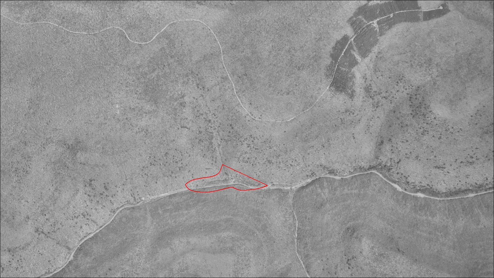

Covering about 5 acres, Upper Pine Bottom State Park lies in Lycoming County, about 13 miles north of Lock Haven.
Things to do include cross-country skiing, winter sports, hunting in season, fishing, and hiking.
Hours
Park, gate, office and facility hours are listed separately because they often differ. Alerts above override normal hours.
| Facility | Days | Hours | Season |
|---|---|---|---|
| Park | Daily | sunrise – sunset | — |
Official wording
The park is open every day of the year, sunrise to sunset. Day use areas close at dusk. Contact the Little Pine State Park office for facility seasons and hours.
Source: official park page, checked Oct 29, 2026. Times are local to the park (America/New York).
Reservations
- Day use
- No day-use reservation requirement mentioned
- Booking system
- ReserveAmerica (Aspira), Pennsylvania State Parks contract
- Phone
- 888-PA-PARKS (888-727-2757)
We link to the official booking system rather than showing live availability, which changes minute to minute.
Things to do
Winter sportsCross-country skiingFishingHikingHuntingPicnicking
Trails
Upper Pine Bottom State Park provides access to the hiking tails of Tiadaghton State Forest.
Amenities
Facilities
- Picnic areas
✓ listed by the park · ✕ the park says it is not available. Anything not shown here isn’t mentioned by the official source — that means unknown, not unavailable.
Getting there
- Address
- PA Route 44
Lock Haven, PA 17745 - Nearest town
- Lock Haven — about 13 mi north (straight line)
- Coordinates
- 41.3188, -77.4208
- Phone
- (570) 753-6000
- littlepinesp@pa.gov
Google Maps directionsApple Maps
Directions from the park
Upper Pine Bottom State Parks is in Lycoming County, Pennsylvania and is along PA 44, west of Waterville. GPS DD: Lat. 41.31885 Long. -77.42076
Nearby state parks
Sources and freshness
- Pennsylvania State Parks — park page — last checked Oct 29, 2026; page says updated Aug 14, 2026
- DCNR Find a Park: content-fragment JSON feed used by the pa.gov park finder
- Wikidata
- USGS PAD-US 4.1 (boundary and acreage)
- Photo: Upper Pine Bottom Run Aerial.PNG — Public domain (US federal government work), According to this , "The photos were produced by the United States Department of Agriculture, Agricultural Adjustment Ad
“Last checked” is when our system last read the official source. No change has been detected since this page was first published. Hours, fees and rules can change without notice — confirm with the park before you go. Methodology