Caesar Creek State Park
Also known as Caesar Creek Lake, Caesar’s Creek State Park
- Status
- Status not posted
- Entrance fee
- Not posted
- Day-use reservations
- None mentioned
- Dogs
- Not stated — check with park
- Camping
- YesAlso lodge or inn rooms
- Official site
- parks.ohiodnr.gov
Official page last checked Oct 29, 2026. How we keep this current
Overview
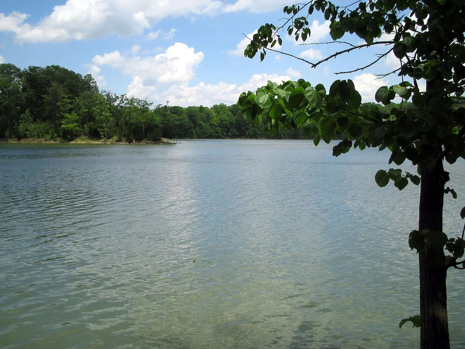

Caesar Creek State Park is a park in Warren County, about 9 miles southeast of Bellbrook.
Facilities for water recreation include a swimming beach, a boat ramp, and a fishing pier. Camping is available: 4 camping areas, including tent sites and group camping. Roofed lodging includes lodge rooms.
Reservations
- Day use
- No day-use reservation requirement mentioned
- Booking system
- Reserve Ohio (reserveohio.com/OhioCampWeb)
We link to the official booking system rather than showing live availability, which changes minute to minute.
Camping
| Campground or site type | Sites | Hookups / features | Price |
|---|---|---|---|
| Campground 1 mapped point(s) in ODNR GIS | — | — | |
| Horseman's Camp 1 mapped point(s) in ODNR GIS | — | — | |
| Group Camp 6 mapped point(s) in ODNR GIS | — | — | |
| Camp Office 1 mapped point(s) in ODNR GIS | — | — |
From the official park page, checked Oct 29, 2026. Site counts and prices can change; confirm when booking.
Things to do
Camping
Amenities
Facilities
- Restrooms
- Picnic areas
- Picnic shelters
- Playground
- Visitor center
- Nature center or museum
- Parking
- Amphitheater
- Group facilities
Water
- Swimming beach
- Boat ramp
- Marina or boat slips
- Fishing pier
Camping
- RV dump station
- Tent camping
- Group camping
Lodging
- Lodge or inn rooms
Recreation
- Horse trails
✓ listed by the park · ✕ the park says it is not available. Anything not shown here isn’t mentioned by the official source — that means unknown, not unavailable.
Getting there
- Nearest town
- Bellbrook — about 9 mi southeast (straight line)
- Coordinates
- 39.5215, -84.0016
Nearby state parks
Sources and freshness
- Ohio State Parks — park page — last checked Oct 29, 2026; page says updated Aug 20, 2020
- ODNR ArcGIS REST: ODNR_ODNR_Lands_Public_nolakes / Parks Facilities (point per state park, DIV_CODE 730)
- Wikidata
- Photo: Caesars creek-kmf.JPG — Public domain (released by the author), Kfasimpaur
“Last checked” is when our system last read the official source. No change has been detected since this page was first published. Hours, fees and rules can change without notice — confirm with the park before you go. Methodology