State Parks Near Albany, NY
61 state park units lie within 50 miles of Albany as the crow flies, across New York and Massachusetts and Vermont and Connecticut. The closest is Schuyler Mansion State Historic Site, about 3 miles southeast. 14 of the 60 listed here offer camping. Distances are straight-line, not driving distance.
Schuyler Mansion State Historic SiteRensselaer, New York2.6 mi southeast
Crailo State Historic SiteRensselaer, New York3.3 mi southeast
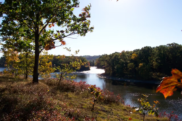
Peebles Island State ParkCohoes, New York9.9 mi northeast
Thacher State ParkColonie, New York11 mi west
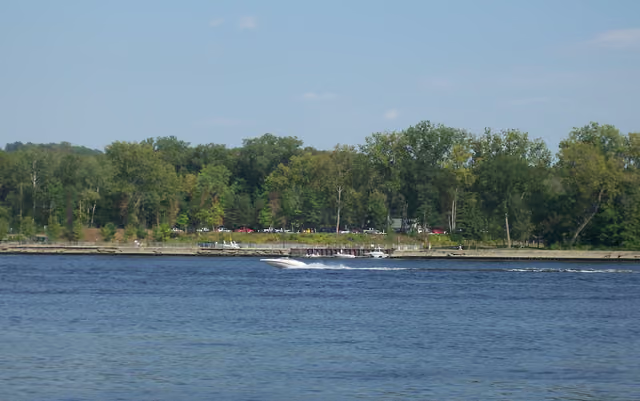
Schodack Island State ParkRavena, New York12.1 mi south
Grafton Lakes State ParkTroy, New York19.8 mi northeast
Cherry Plain State ParkPittsfield, New York19.9 mi east
Hudson River Islands State ParkCoxsackie, New York23.3 mi south
Saratoga Spa State ParkSaratoga Springs, New York26.6 mi north
Taconic Trail State ParkNorth Adams, Massachusetts27 mi east
Pittsfield State ForestPittsfield, Massachusetts27.2 mi southeast
Balance Rock State ParkPittsfield, Massachusetts28.9 mi east
Richmond State ForestPittsfield, Massachusetts29.6 mi southeast
Schoharie Crossing State Historic SiteAmsterdam, New York30.8 mi northwest
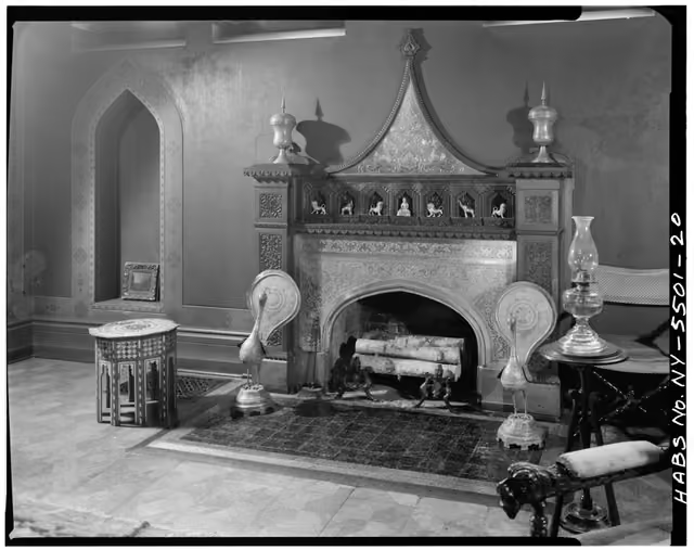
Olana State Historic SiteHudson, New York31.2 mi south
Mount Greylock State ReservationNorth Adams, Massachusetts31.4 mi east
Bennington Battlefield State Historic SiteNorth Bennington, New York31.5 mi northeast
Max V. Shaul State ParkMiddleburgh, New York32.2 mi west
Ashuwillticook Rail TrailCheshire, Massachusetts33.1 mi east
Clarksburg State ForestNorth Adams, Massachusetts33.5 mi east
Adams Rail TrailNorth Adams, Massachusetts34.2 mi east
Western Gateway Heritage State ParkNorth Adams, Massachusetts34.8 mi east
Natural Bridge State ParkNorth Adams, Massachusetts36.1 mi east
Clarksburg State ParkClarksburg, Massachusetts36.7 mi east
Wahconah Falls State ParkPittsfield, Massachusetts36.9 mi east
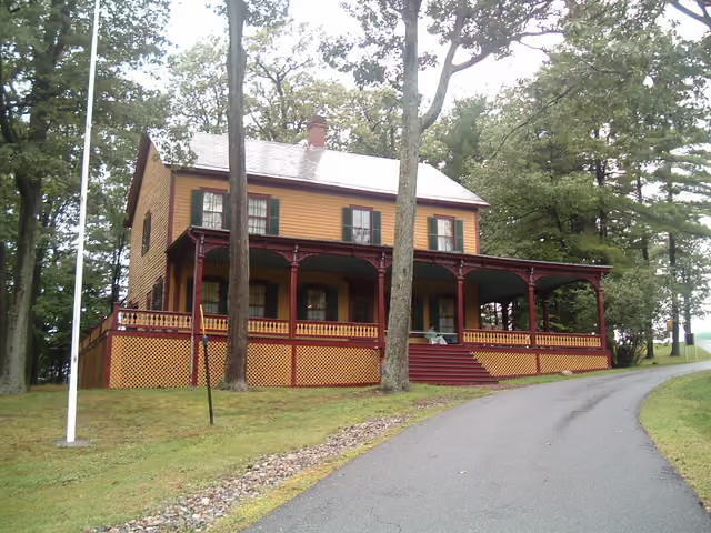
Grant Cottage State Historic SiteWilton, New York37.1 mi north
Mine Kill State ParkStamford, New York37.3 mi southwest
Florida State ForestNorth Adams, Massachusetts38.1 mi east
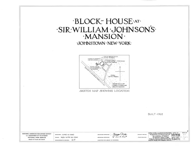
Johnson Hall State Historic SiteJohnstown, New York38.2 mi northwest
October Mountain State ForestLee, Massachusetts38.3 mi southeast
Savoy Mountain State ForestFlorida, Massachusetts38.8 mi east
Moreau Lake State ParkGlens Falls, New York39.3 mi north
Ashmere Lake State ParkPittsfield, Massachusetts39.5 mi southeast
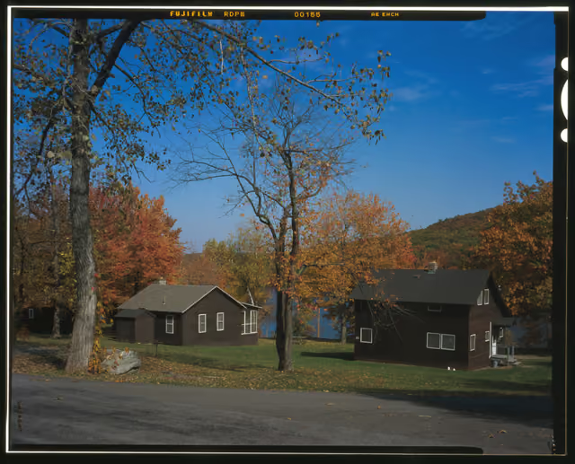
Lake Taghkanic State ParkHudson, New York39.9 mi south
Lake Shaftsbury State ParkShaftsbury, Vermont39.9 mi northeast
Jug End State ReservationHudson, Massachusetts40.1 mi southeast
Beartown State ForestMonterey, Massachusetts40.4 mi southeast
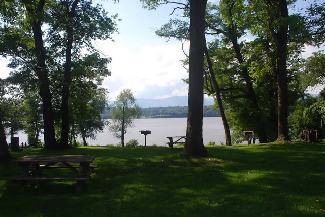
Clermont State Historic SiteSaugerties, New York40.6 mi south
Windsor State ForestWindsor, Massachusetts40.8 mi east
Monroe State ForestNorth Adams, Massachusetts41.5 mi east
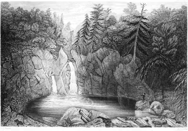
Bash Bish Falls State ParkHudson, Massachusetts41.5 mi south
Woodford State ParkBennington, Vermont41.6 mi east
East Mountain State ForestPittsfield, Massachusetts42 mi southeast
Arthur Wharton Swann State ForestPittsfield, Massachusetts42.2 mi southeast
Middlefield State ForestPittsfield, Massachusetts42.9 mi southeast
Mohawk Trail State ForestCharlemont, Massachusetts43 mi east
Mount Washington State ForestHudson, Massachusetts43.1 mi south
Taconic State Park - Copake Falls AreaHudson, New York43.1 mi south
Taconic State Park - Rudd Pond AreaHudson, New York43.1 mi south
Mount Everett State ReservationHudson, Massachusetts43.8 mi southeast
Peru State ForestPittsfield, Massachusetts44 mi southeast
Bryant Mountain State ForestPittsfield, Massachusetts44.1 mi east
Deer Hill State ReservationNorth Adams, Massachusetts44.1 mi east
Kenneth Dubuque Memorial State ForestNorth Adams, Massachusetts44.7 mi east
Fisher Scott Memorial PinesCambridge, Vermont45 mi northeast
Rowe State ForestNorth Adams, Massachusetts45.1 mi east
Worthington State ForestPittsfield, Massachusetts45.8 mi east
Mount Riga State ParkSalisbury, Connecticut47.4 mi southeast
John Burroughs Memorial State Historic SiteStamford, New York47.6 mi southwest
Becket State ForestWestfield, Massachusetts47.9 mi southeast
Showing the nearest 60. See all 61 on the map.
Lists are built automatically from official park data and update when parks change. Inclusion means the official source lists the feature; it is not a ranking.