Waterloo Recreation Area
- Status
- Status not posted
- Entrance fee
- Statewide rule — see below
- Day-use reservations
- None mentioned
- Dogs
- Not stated — check with park
- Camping
- Yes
- Official site
- www2.dnr.state.mi.us
Official page last checked Oct 29, 2026. How we keep this current
Overview
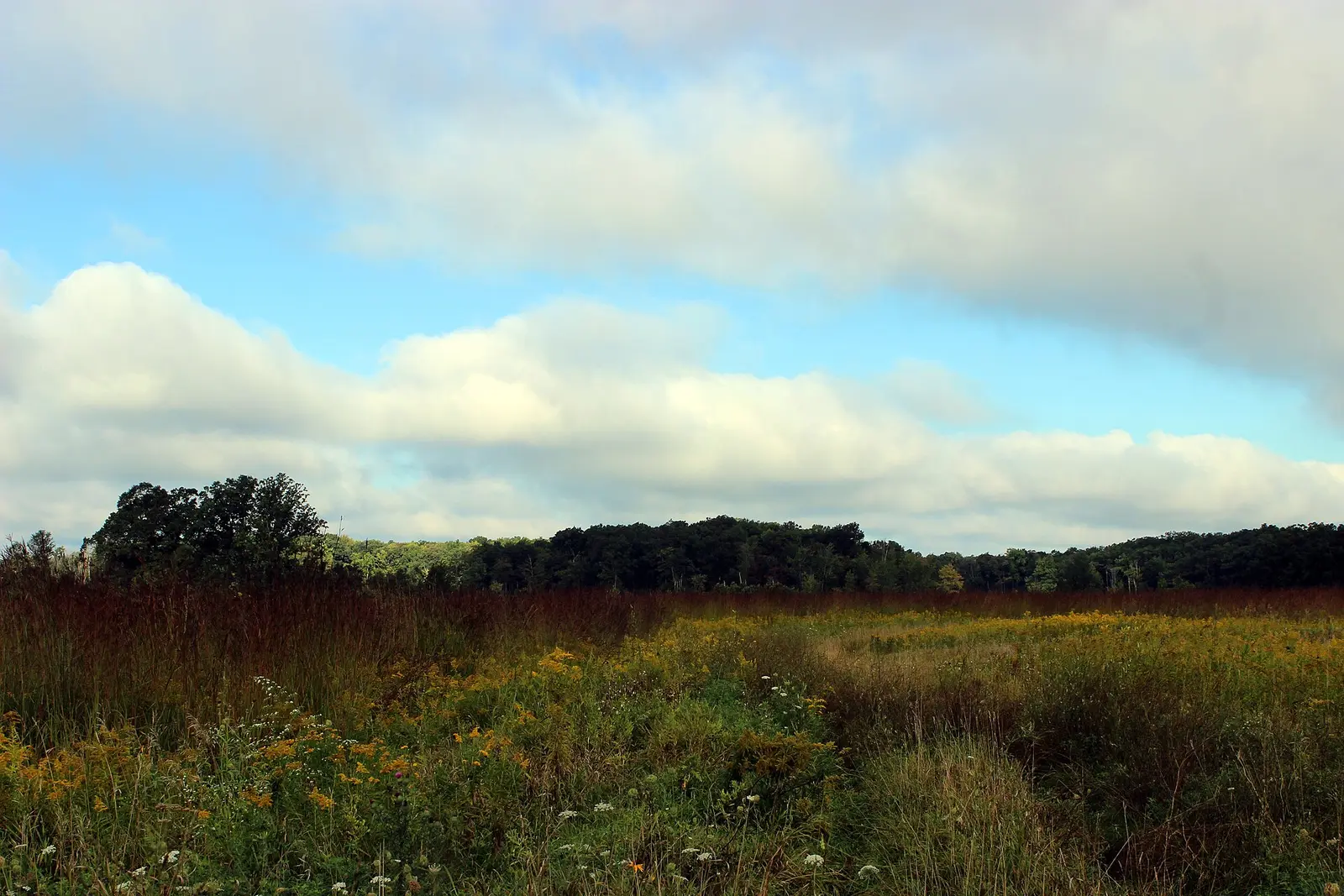

Covering about 16,390 acres, Waterloo Recreation Area lies in Jackson County, about 8 miles west of Chelsea.
For overnight stays there are 5 camping areas (tent sites and equestrian camping).
Fees and passes
Per vehicle with resident/nonresident difference: Recreation Passport (residents add it at Secretary of State vehicle registration; nonresidents buy daily/annual passes).
Statewide fee rule from Michigan's park system; this park’s page doesn’t list its own fees.
Michigan park passes
- Recreation Passport. Vehicle entry to Michigan state parks and recreation areas (resident passport bought with vehicle registration; nonresident passes sold separately) Details
From the Michigan state guide. Confirm which passes this park accepts.
Reservations
- Day use
- No day-use reservation requirement mentioned
- Booking system
- Michigan DNR reservations (midnrreservations.com)
We link to the official booking system rather than showing live availability, which changes minute to minute.
Camping
| Campground or site type | Sites | Hookups / features | Price |
|---|---|---|---|
| Waterloo Recreation Area Green Lake DNR asset CMP137 | — | — | |
| Waterloo Recreation Area DNR asset CMP327 | — | — | |
| Waterloo Recreation Area Green Lake DNR asset CMP138 | — | — | |
| Waterloo Recreation Area Portage Lake DNR asset CMP139 | — | — | |
| Waterloo Recreation Area Sugarloaf Lake DNR asset CMP136 | — | — |
From the official park page, checked Oct 29, 2026. Site counts and prices can change; confirm when booking.
Things to do
Camping
Amenities
Camping
- Tent camping
- Equestrian camping
Recreation
- Horse trails
✓ listed by the park · ✕ the park says it is not available. Anything not shown here isn’t mentioned by the official source — that means unknown, not unavailable.
Getting there
- Nearest town
- Chelsea — about 8 mi west (straight line)
- Coordinates
- 42.3440, -84.1592
Nearby state parks
Sources and freshness
- Michigan State Parks (DNR Parks and Recreation Division) — park page — last checked Oct 29, 2026; page says updated Sep 4, 2026
- Michigan DNR Parks Unit Boundary (ArcGIS Online open data, owner MichiganDNR; DNRManagementBoundariesOPENDATA layer 8)
- Wikidata
- USGS PAD-US 4.1 (boundary and acreage)
- Photo: Waterloo State Recreation Area (15275122910).jpg — Public domain (US federal government work), USFWSmidwest
“Last checked” is when our system last read the official source. No change has been detected since this page was first published. Hours, fees and rules can change without notice — confirm with the park before you go. Methodology