State Reservation
Mount Sugarloaf State Reservation
- Status
- Status not posted
- Entrance fee
- Statewide rule — see below
- Day-use reservations
- None mentioned
- Dogs
- Not stated — check with park
- Camping
- None listed
- Official site
- mass.gov
Official page last checked Oct 29, 2026. How we keep this current
Overview
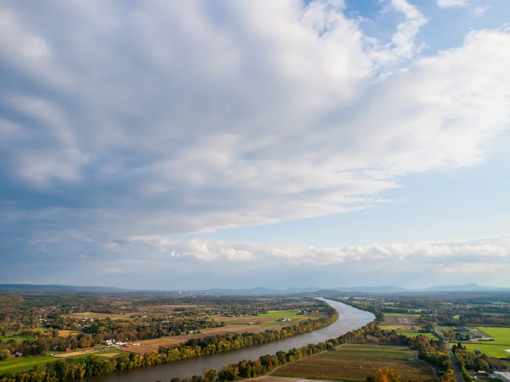

Mount Sugarloaf State Reservation is a park unit in Franklin County, about 9 miles northwest of Amherst Town.
Fees and passes
Per vehicle (parking fees at staffed day-use areas), varying by site.
Statewide fee rule from Massachusetts's park system; this park’s page doesn’t list its own fees.
Getting there
- Nearest town
- Amherst Town — about 9 mi northwest (straight line)
- Coordinates
- 42.4815, -72.5877
Nearby state parks
Mount Toby State Forest
2.8 mi east (straight line)
Connecticut River Greenway State Park3.3 mi northeast (straight line)
Conway State Forest6.9 mi west (straight line)
South River State Forest7.1 mi northwest (straight line)
Montague State Forest7.6 mi northeast (straight line)
Lake Wyola State Park7.9 mi east (straight line)
Norwottuck Rail Trail9.3 mi south (straight line)
Elwell Recreation Area10.3 mi south (straight line)
Sources and freshness
- Massachusetts State Parks (DCR MassParks) — park page — last checked Oct 29, 2026
- DCR State Parks GIS: 'DCR owned and managed lands - whole site' (ArcGIS Online, owner DCRStateParks; 'DCR owned & managed Open Space dissolved on field Site name. Current as of 8/18/2026'), filtered to recreation destinations by name
- Wikidata
- Photo: Connecticut River Valley (8575464880).jpg — Public domain (US federal government work), U. S. Fish and Wildlife Service - Northeast Region
“Last checked” is when our system last read the official source. No change has been detected since this page was first published. Hours, fees and rules can change without notice — confirm with the park before you go. Methodology