El Dorado State Park
- Status
- Status not posted
- Entrance fee
- Statewide rule — see below
- Day-use reservations
- None mentioned
- Dogs
- Statewide rule — see below
- Camping
- YesAlso cabins
- Official site
- travelks.com(316) 321-7180
Official page last checked Oct 29, 2026. How we keep this current
Overview
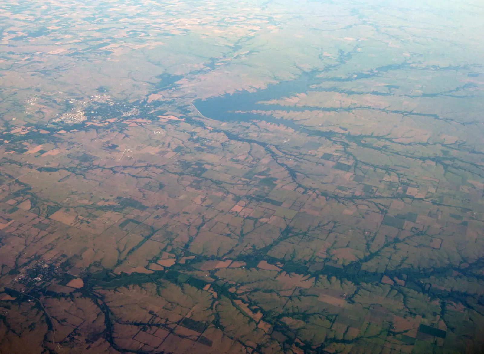

El Dorado State Park is a 4,133-acre park in Butler County, about 5 miles east of El Dorado.
Visitors come for horseback riding, archery, boating, fishing, and biking. For overnight stays there are campsites (RV sites with full hookups, tent sites, and primitive or hike-in sites). If you'd rather not camp, the park offers cabins.
Pets
Pets must always be restrained by a camper, cage, hand-held leash, or tethered chain no longer than 10 feet; not allowed on swimming beaches/buoyed swim areas or in public buildings.
Statewide rule from Kansas's park system (source). This park’s page doesn’t state its own pet rules, so check for local restrictions.
Fees and passes
Per vehicle: $5 daily vehicle permit or annual Kansas State Parks Passport ($15.50 resident via vehicle registration, $25 at KDWP office); camping permit required in addition for overnight stays, prime-site fee Apr 1–Sep 30, $3 per-stay transaction fee.
Statewide fee rule from Kansas's park system; this park’s page doesn’t list its own fees.
Kansas park passes
- Daily vehicle permit — $5. Daily vehicle entry; not required at Mushroom Rock, Prairie Spirit Trail and Flint Hills Trail state parks Details
- Kansas State Parks Passport (annual vehicle permit) — $15.50 with Kansas vehicle registration renewal; $25 at a KDWP office. Entry to any Kansas state park without the $5 daily vehicle fee Details
From the Kansas state guide. Confirm which passes this park accepts.
Reservations
- Day use
- No day-use reservation requirement mentioned
- Booking system
- CampItKS (KDWP camping reservations)
We link to the official booking system rather than showing live availability, which changes minute to minute.
Camping
| Campground or site type | Sites | Hookups / features | Price |
|---|---|---|---|
| Campsites | — | Electric and Water Hookups: 307; Full Hookups: 165 | — |
Camping details from the park
Modern Cabins
10
Primitive Cabins
0
Primitive Campsites
589
307
Full Hookups
165
From the official park page, checked Oct 29, 2026. Site counts and prices can change; confirm when booking.
Cabins and lodging
- Modern Cabins: 10 units
Modern Cabins
Primitive Cabins
Things to do
CampingArcheryFishingBoatingHikingBikingHorseback riding
Trails
| Trail | Length | Difficulty | Notes |
|---|---|---|---|
| Cross Country Course | 1 mi | — | Hiking |
| Tallgrass Prairie Trail | 0.5 mi | Easy | HikingPaved surfaceAccessible |
| Walnut Ridge Trail | 0.57 mi | Easy | HikingBikingNatural surface |
| Teter Nature Trail | 0.82 mi | Moderate | HikingNatural surface |
| Walnut River Trail | 2.5 mi | Moderate | HikingMountain BikingSemi hardened surface |
| Boulder Bluff Horse Trail | 15.55 mi | Moderate | BikingHikingHorseback RidingNatural surface |
| Double Black Diamond Trail | 2 mi | Difficult | Walking; Mountain BikingNatural surface |
Trail descriptions from the park
- Cross Country Course
- Length - 1 mile
- Usage – Hiking
- A meandering trail in the Flint Hills, used for cross country and walk/run competitions.
- Tallgrass Prairie Trail
- Length - .5 miles
- Terrain - Paved
- Difficulty level – Easy
- Usage – Hiking
- ADA ACCESSIBLE
- A scenic trail displaying the wildflowers of the Flint Hills.
- Walnut Ridge Trail
- Length - .57 miles
- Terrain - Natural
- Difficulty level – Easy
- Usage – Hiking, Biking
- A scenic trail accessed from the campground that follows the Walnut River
- Teter Nature Trail
- Length - .82 miles
- Terrain - Natural
- Difficulty level – Moderate
- Usage – Hiking
- A diverse nature trail winding through the Flint Hills down into a bottomland hardwood forest and a small stand of Paw Paw trees.
- Walnut River Trail
- Length - 2.5 miles
- Terrain - Semi hardened
- Difficulty level – Moderate
- Usage – Hiking, Mountain Biking
- Boulder Bluff Horse Trail
- Length - 15.55 miles
- Terrain - Natural
- Difficulty level – Moderate
- Attributes: Camping, Correls/Pens
- Usage – Biking, Hiking, Horseback Riding
- The trail is a scenic stroll through the Flint Hills along the shoreline of El Dorado Lake. An equestrian campground is available in Boulder Bluff Area 1.
- Double Black Diamond Trail
- Length - 2 miles
- Terrain - Natural
- Difficulty level – Difficult
- A challenging bike trail through the timber of the Walnut River
Tall Grass Park
- 1001 Turkey Creek Dr
- (620) 245-2565
Nestled in the Turkey Creek housing subdivision, Tall Grass Park offers a neighborhood park featuring toddler-age playgrounds, a gazebo and a 1/10 mile walking track. Local families and their visitors benefit from the secure area surrounded by beautiful flowers and tall grasses.
Fishing
- Crappie
- Smallmouth bass
- White bass
- Wipers
- Blue catfish
- Channel catfish
Kansas Fishing License
A state fishing license is usually required.
Amenities
Camping
- Tent camping
- RV camping
- Electric hookups
- Water hookups
- Sewer hookups
- Primitive or backcountry camping
Lodging
- Cabins
Recreation
- Horse trails
✓ listed by the park · ✕ the park says it is not available. Anything not shown here isn’t mentioned by the official source — that means unknown, not unavailable.
Accessibility
Trails
- Tallgrass Prairie Trail
- Length - .5 miles
- Terrain - Paved
- Difficulty level – Easy
Facilities
- ADA Archery Range
Conditions change. Contact the park to confirm specific accessible features before your visit.
Getting there
- Address
- 618 NE Bluestem Rd.
El Dorado, KS 67042 - Nearest town
- El Dorado — about 5 mi east (straight line)
- Coordinates
- 37.8362, -96.7772
- Phone
- (316) 321-7180
- kdwp.eldoradosp@ks.gov
Nearby state parks
Sources and freshness
- Kansas State Parks — park page — last checked Oct 29, 2026
- TravelKS.com (State of Kansas official tourism site, Dept. of Commerce) 'Kansas State Parks' page — 29 park page links; contacts/coordinates from KDWP's public ArcGIS 'KDWP Spatial Directory' Offices layer
- Wikidata
- USGS PAD-US 4.1 (boundary and acreage)
- Photo: El Dorado Lake KS.jpg — CC0 1.0 (public domain dedication), Jstuby at English Wikipedia
“Last checked” is when our system last read the official source. No change has been detected since this page was first published. Hours, fees and rules can change without notice — confirm with the park before you go. Methodology