Picacho State Recreation Area
Also known as Picacho SRA
- Status
- Open (per official listing)
- Entrance fee
- $10 per dayAnnual pass available
- Day-use reservations
- None mentioned
- Dogs
- Dogs allowed, with restrictions
- Camping
- Yes
- Official site
- parks.ca.gov(760) 996-2963
Official page last checked Oct 29, 2026. How we keep this current
Current alerts 3
Partial closure Facility ClosuresThe Lower Dock boat launch is closed until further notice. The Lower Dock day use area is open.
Posted by the park. Official alert
Alert Lower Dock was washed out in recent rain events and is not useable.
Posted by the park. Official alert
Weather Partial Closure — Past Storm EventLower Dock was washed out in recent rain events and is not useable.
Posted by the park 2025-10-16. Official alert
Overview
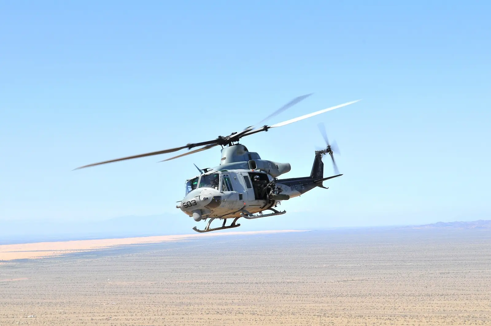

In Imperial County, about 30 miles north of Somerton, Picacho State Recreation Area covers about 7,288 acres.
Visitors come for historic sites, boating, swimming, fishing, and ranger programs. On the water side, there is a swimming beach and a boat ramp. Overnight options include campsites, with RV sites, tent sites, and group camping.
Hours
Park, gate, office and facility hours are listed separately because they often differ. Alerts above override normal hours.
| Facility | Days | Hours | Season |
|---|---|---|---|
| The park’s wording doesn’t give clock times — see the official wording below. | |||
Official wording
Day use and campground open all day and all night.
Source: official park page, checked Oct 29, 2026. Times are local to the park (America/Los Angeles).
Fees and passes
| Item | Amount |
|---|---|
| Vehicle Day Use | $10 |
| Boat Launch | $5 |
Official wording
Special rates may apply for peak season, high demand holiday periods, and during weekends. Prices are subject to change without notice. • Vehicle Day Use: $10.00 • Boat Launch: $5.00
California park passes
- California Explorer Annual Pass — $195. Vehicle day-use entry to 134 state parks incl. high-demand Southern California beaches Details
- Golden Poppy Annual Pass — $125. Vehicle day-use entry to 112 state parks Details
- Historian Passport — $50. Admission for up to four people at per-person-fee State Historic Parks Details
- Off-Highway Vehicle (OHV) Annual Pass — $50. Entry to State Vehicular Recreation Areas that collect day-use fees Details
- SNO-Park Pass — $40 season / $15 day. 18 SNO-PARK winter recreation areas Details
From the California state guide. Confirm which passes this park accepts.
Reservations
- Day use
- No day-use reservation requirement mentioned
- Booking system
- ReserveCalifornia
- Phone
- (800) 444-7275
We link to the official booking system rather than showing live availability, which changes minute to minute.
Pets
Dogs allowed, with restrictions
Not allowed in or on: beaches or trails.
Are dogs allowed? Yes: Dogs allowed in developed areas such as roads and campgrounds. Dogs not allowed on beaches or trails. Dogs must be on a leash no more than 6' long and under the owner's immediate control at all times.
Service animals are generally permitted where pets are not. Check with the park for specific areas.
Camping
Overnight facilities: Tent Camping, Group Campsites, Remote Camping, Boat-in/Floating Camps, RV Access Max trailer: 30 feet Max camper/motorhome: 35 feet
From the official park page, checked Oct 29, 2026. Site counts and prices can change; confirm when booking.
Things to do
BoatingHistoric sites and toursPicnickingFishingRanger and interpretive programsSwimmingGeocachingHikingCamping
Amenities
Facilities
- Restrooms
- Drinking water
- Picnic areas
- Nature center or museum
- Parking
- Group facilities
Water
- Swimming beach
- Boat ramp
Camping
- Tent camping
- RV camping
- Group camping
✓ listed by the park · ✕ the park says it is not available. Anything not shown here isn’t mentioned by the official source — that means unknown, not unavailable.
Accessibility
Overview In the 1800s, what is now Picacho State Historic Park was a gold mining town with 100 citizens. Today the site is used by boaters, hikers, anglers and campers. The park’s remote location requires visitors to drive over 18 miles of dirt roads that are passable for cars and vehicles with trailers and motorhomes, but can be impassable in summer thunderstorms. Travelers on this road should carry extra water and other essential supplies. Located 24 miles off Interstate 8, north of Winterhaven, just east of Yuma, AZ . Phone 760-393-3052. Camping The main campground has a designated accessible campsite located between sites 20-22 near the restroom and shower building. The table and fire ring are accessibly designed and are on a dirt surface. Other sites are flat and large with firm pads and are usable. Restrooms and showers: There are two accessible vault toilets in the campground. Route of travel from the campsite to the restrooms is across a hard packed dirt camp road that is generally flat and accessible. Picnic Area Upper and Lower Dock Boat Launch Area have designated accessible picnic sites, some with shade structures. There are accessible tables and cooking grills. Restroom: An accessibly designed portable restroom is available at the Upper Dock area. Parking is in unpaved lots, which are usable. Routes of travel: The paths from the parking lots to the picnic sites are unpaved, but usable. Trails The Stewart Lake Trail is an 'out-and-back' accessible trail that is 0.16 miles each way to an overlook of the Colorado River. There is a bench at the overlook. The trail surface is compacted aggregate / fiberglass. The trail is generally flat at less than 5% slopes with intermittent sections between 5% to 10%. Accessible parking is located at the trailhead in the main campground near campsite #17. Accessible Trail Data Trail Name Running Slope Cross Slope Trail Width Trail Surface Stewart Lake Trail 4% Average 2.7% Average 5 FT Average Aggregate & Fiberglass 10% Maximum 5% Maximum 4.5 FT Minimum
Official accessibility information
Conditions change. Contact the park to confirm specific accessible features before your visit.
Getting there
- Address
- 4900 Picacho Road
Winterhaven, CA 92283 - Nearest town
- Somerton — about 30 mi north (straight line)
- Coordinates
- 33.0231, -114.6099
- Phone
- (760) 996-2963
- SpecialEvents.OcotilloWells@parks.ca.gov
Entrances
- Directions point
Google Maps directionsApple MapsOfficial park map (PDF)
Directions from the park
Take the 24-mile (mostly unpaved) road north from Winterhaven near the Mexican border. The road to Picacho from Winterhaven is paved only for the first 6 of 24 miles. The last 18 miles is over a dirt road that is passable for cars and vehicles with trailers and motorhomes. At times during the summer thunderstorms are likely to cause flash flooding in the washes, temporarily making short sections of the road impassable.
Nearby state parks
Sources and freshness
- California State Parks — park page — last checked Oct 29, 2026
- California State Parks Listing page (one link per unit, page_id = officialId), unioned with the CSP Enterprise GIS 'ParkEntryPoints' ArcGIS layer (coords, address, county, unit number, management status) and the 'CSPParkUnit_CurrentStatus' layer (open/partial/full closure)
- Wikidata
- USGS PAD-US 4.1 (boundary and acreage)
- Photo: USMC-100303-M-8964D-002.jpg — Public domain (US federal government work), Lance Cpl. Aaron Diamant
“Last checked” is when our system last read the official source. No change has been detected since this page was first published. Hours, fees and rules can change without notice — confirm with the park before you go. Methodology