Cossatot River State Park-Natural Area
- Status
- Status not posted
- Entrance fee
- Not posted
- Day-use reservations
- None mentioned
- Dogs
- Not stated — check with park
- Camping
- Yes
- Official site
- arkansas.com(870) 385-2201
Official page last checked Oct 29, 2026. How we keep this current
Overview
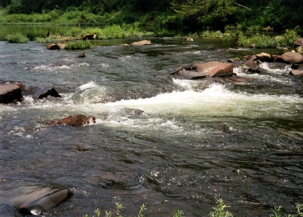

In Howard County, about 20 miles northeast of De Queen, Cossatot River State Park-Natural Area covers about 4,428 acres.
Camping is available: 3 camping areas, including tent sites and group camping.
Hours
Park, gate, office and facility hours are listed separately because they often differ. Alerts above override normal hours.
| Facility | Days | Hours | Season |
|---|---|---|---|
| Visitor center | Daily | 8 a.m. – 5 p.m. | Mar 1 – Nov 30 |
| Mon–Fri | 8 a.m. – 5 p.m. | Dec 1 – Feb 28 | |
| Sat–Sun | 1 p.m. – 5 p.m. | Dec 1 – Feb 28 |
Official wording
Visitor Center, March-November: Open daily 8 a.m. to 5 p.m. December-February: Monday-Friday 8 a.m.-5 p.m. Saturday-Sunday 1 p.m.-5 p.m. Closed New Year’s Day, Thanksgiving Day, Christmas Eve and Christmas Day.
Primitive Campsites/Picnic Area: Open all year
Source: official park page, checked Oct 29, 2026. Times are local to the park (America/Chicago).
Reservations
- Day use
- No day-use reservation requirement mentioned
- Booking system
- Arkansas State Parks reservations (reserve.arkansasstateparks.com)
We link to the official booking system rather than showing live availability, which changes minute to minute.
Camping
| Campground or site type | Sites | Hookups / features | Price |
|---|---|---|---|
| Class D - Tent Only (Self Pay) Sandbar Area Class D - Tent Only (Self Pay) Sandbar Area | — | — | |
| Class D - Tent Site (Self Pay) Cossatot Falls Area Class D - Tent Site (Self Pay) Cossatot Falls Area | — | — | |
| River Ridge Group Camp River Ridge Group Camp | — | River Ridge Group Camp | — |
Camping details from the park
Class D - Tent Only (Self Pay) Sandbar Area
Class D - Tent Site (Self Pay) Cossatot Falls Area
River Ridge Group Camp
From the official park page, checked Oct 29, 2026. Site counts and prices can change; confirm when booking.
Things to do
Camping
Trails
| Trail | Length | Difficulty | Notes |
|---|---|---|---|
| Brushy Creek Nature Trail | — | — | Trail page: https://www.arkansas.com/state-parks/explore/trails/brushy-creek-nature-trail |
| Harris Creek Trail | — | — | Trail page: https://www.arkansas.com/state-parks/explore/trails/harris-creek-trail |
| River Corridor Trail | — | — | Trail page: https://www.arkansas.com/state-parks/explore/trails/river-corridor-trail |
| Waterleaf Interpretive Trail | — | — | Trail page: https://www.arkansas.com/state-parks/explore/trails/waterleaf-interpretive-trail |
Amenities
Facilities
- Group facilities
Camping
- Tent camping
- Group camping
✓ listed by the park · ✕ the park says it is not available. Anything not shown here isn’t mentioned by the official source — that means unknown, not unavailable.
Getting there
- Address
- 1980 Hwy. 278 West
Wickes, AR 71973 - Nearest town
- De Queen — about 20 mi northeast (straight line)
- Coordinates
- 34.2942, -94.1774
- Phone
- (870) 385-2201
- cossatotriver@arkansas.com
Nearby state parks
Sources and freshness
- Arkansas State Parks — park page — last checked Oct 29, 2026
- Arkansas State Parks park map (Leaflet features in drupalSettings)
- Wikidata
- USGS PAD-US 4.1 (boundary and acreage)
- Photo: Cossatot River Arkansas.jpg — Public domain (US federal government work), Jamie Camp, U.S. Army Corps of Engineers
“Last checked” is when our system last read the official source. No change has been detected since this page was first published. Hours, fees and rules can change without notice — confirm with the park before you go. Methodology